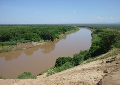
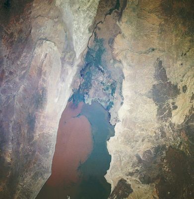
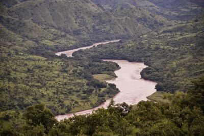
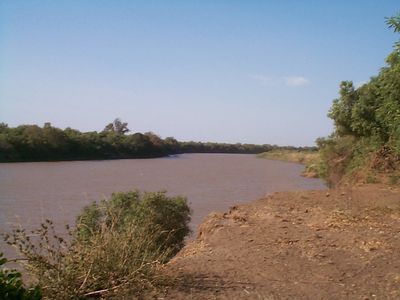
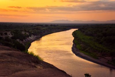
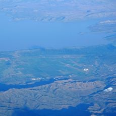
Omo River, River system in southwestern Ethiopia.
The Omo River is a waterway in southwestern Ethiopia that flows southward across 760 kilometers through varied terrain, beginning where the Gibe and Wabe rivers converge before reaching Lake Turkana. The valley surrounding this system contains different ecological zones that support both wildlife and human settlements.
The Lower Omo Valley has served as a site of human origins research for decades, with layers of rock containing evidence of early human ancestors. Researchers have uncovered remains and stone tools from multiple periods spanning millions of years of human development.
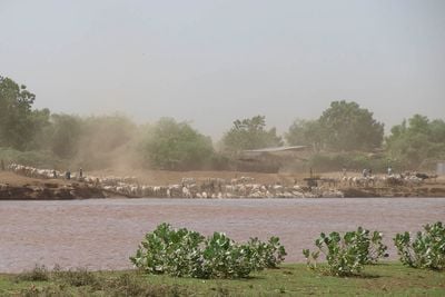
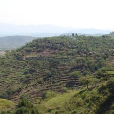
The Mursi, Suri, and Nyangatom peoples have shaped life along these banks for centuries, with daily routines centered on fishing, herding, and water use. Their traditions and customs remain visible in how communities interact with the river and the landscape.
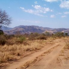
The river can be reached from several directions, with the southwestern approach from Jinka being the most straightforward route. Visitors should prepare for warm, dry conditions and arrange local guides to navigate the region safely and respectfully.
Stone tools scattered across the valley reveal that humans crafted implements here going back more than 2 million years, showing how early inhabitants adapted to their surroundings. These discoveries rank among the world's oldest known tools made by human hands.
The community of curious travelers
AroundUs brings together thousands of curated places, local tips, and hidden gems, enriched daily by 60,000 contributors worldwide.