Konso Cultural Landscape

Log in to your account

AroundUs is a community-driven map of interesting places, built by curious explorers like you. It grows with every review, story, and photo you share.
Connect to save your favorite spots, contribute locations, and create personalized routes.
By continuing, you accept our Terms and Conditions and our Privacy Policy
Add to collection
Map
Suggest a change
Share

Konso Cultural Landscape, Cultural landscape with stone terraces in southern Ethiopia

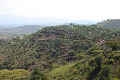
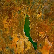
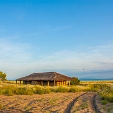
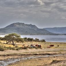
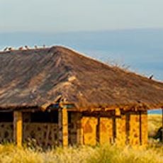
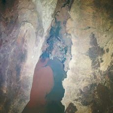
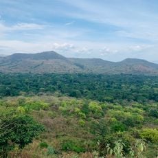
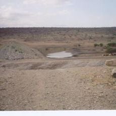
The Konso Cultural Landscape is an agricultural region in southern Ethiopia marked by stone-walled terraces spread across hillsides. These structures were built to capture rainwater and stop soil erosion, making farming possible on steep and difficult ground.

The Konso people developed their farming system more than 400 years ago to grow crops on harsh mountain terrain. The region was later annexed by Menelik II in 1897, becoming part of Ethiopia's modern story.

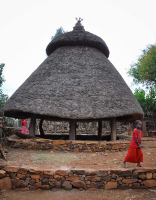
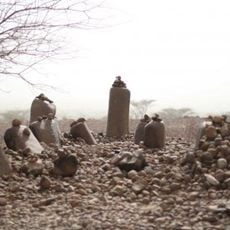
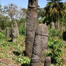
The Konso communities place wooden statues called Waka in their villages to honor deceased leaders and maintain social bonds across generations. These figures shape how people move through and understand their settlements today.

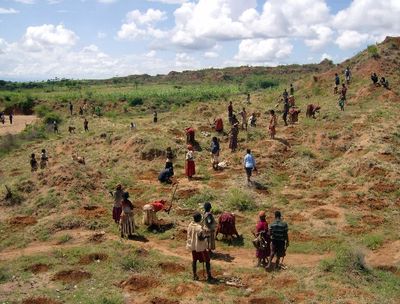
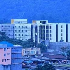
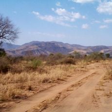
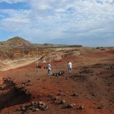
Visitors typically travel from Addis Ababa by vehicle to the town of Karat, where paths through the terraced fields can be steep and require sturdy footwear. Hiring a local guide helps navigate the villages and understand what you are seeing in the landscape.

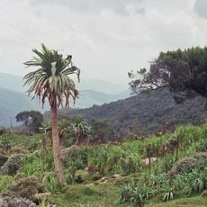
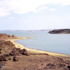
Sacred forests within the landscape serve as burial grounds for ritual leaders and host ceremonies tied to the agricultural calendar throughout the year. These spaces often remain hidden from visitors but are essential to community spiritual life.

GPS coordinates: 5.25000,37.48306

Latest update: December 6, 2025 17:48

Photography locations in Ethiopia

Ethiopia offers photographers a range of subjects from medieval architecture to geologically active zones. In the north, Lalibela features eleven churches carved from solid tuff rock during the 12th and 13th centuries, while Axum holds obelisks from the Aksumite Empire that flourished from the 1st to 10th centuries. The Gheralta region of Tigray contains dozens of churches built into cliff faces, accessible via steep trails.The landscape extends from the peaks of the Simien Mountains, rising above 15,000 feet (4,500 meters), to the Danakil Depression, one of the lowest and hottest places on Earth. Bale Mountains National Park supports Ethiopian wolves in afroalpine moorlands, while Awash National Park features acacia woodlands and hot springs. The walled city of Harar Jugol, with its 368 lanes and 82 mosques dating from the 16th century, displays Islamic architecture. The monasteries on Lake Tana islands hold manuscripts from the 14th to 18th centuries, and in Gondar, Fasil Ghebbi documents Ethiopian rule through its 17th and 18th century palaces and churches.

Reviews

Visited this place? Tap the stars to rate it and share your experience / photos with the community! Try now! You can cancel it anytime.

« Konso Cultural Landscape - Cultural landscape with stone terraces in southern Ethiopia » is provided by Around Us (aroundus.com). Images and texts are derived from Wikimedia project under a Creative Commons license. You are allowed to copy, distribute, and modify copies of this page, under the conditions set by the license, as long as this note is clearly visible.

Discover hidden gems everywhere you go!

From secret cafés to breathtaking viewpoints, skip the crowded tourist spots and find places that match your style. Our app makes it easy with voice search, smart filtering, route optimization, and insider tips from travelers worldwide. Download now for the complete mobile experience.

Around Us App Screenshot

A unique approach to discovering new places

Le Figaro

All the places worth exploring

France Info

A tailor-made excursion in just a few clicks

20 Minutes