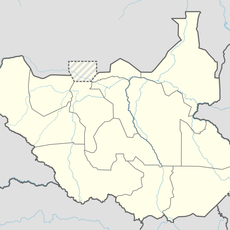
Chebera Churchura National Park, National park in Konta Woreda, Ethiopia
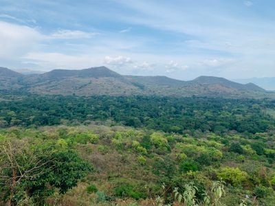
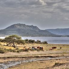
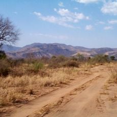
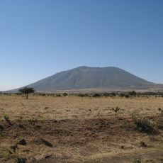
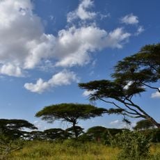
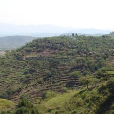
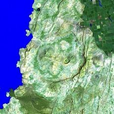
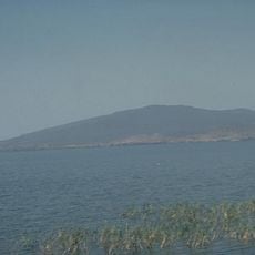
Chebera Churchura is a national park in Konta Woreda that covers mountainous terrain with several distinct habitats. The landscape includes grasslands transitioning to dense forests across different elevations throughout the protected area.
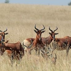
The land was once used as a controlled hunting ground for elephants in the region. In 2005 it became a protected national park to safeguard wildlife and natural resources for future generations.
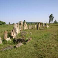
The park holds meaning for the communities living in and around it, who have maintained their connection to the land for generations. People here continue practices that reflect their relationship with the natural world and each season's rhythms.
The park sits in the southwestern part of the country and requires planning for weather conditions throughout your visit. Timing your trip outside the heavy rain season makes getting around the terrain noticeably easier and more enjoyable.
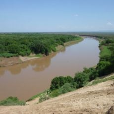
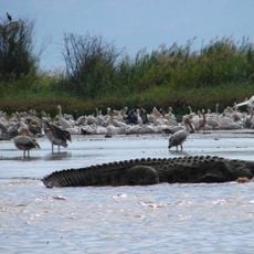
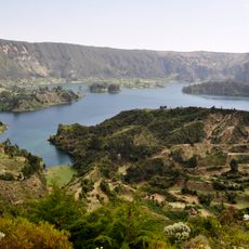
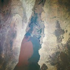
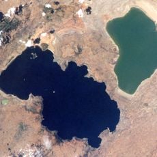
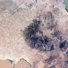
Several crater lakes sit hidden among the mountains, creating unusual water environments in the landscape. A network of rivers flowing year-round through the terrain provides water across different parts of the protected area.
The community of curious travelers
AroundUs brings together thousands of curated places, local tips, and hidden gems, enriched daily by 60,000 contributors worldwide.