Nechisar National Park, National park in Southern Nations region, Ethiopia
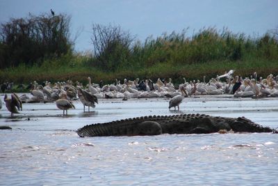
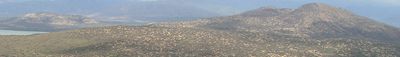
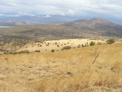
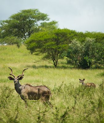
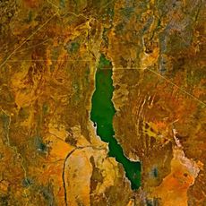
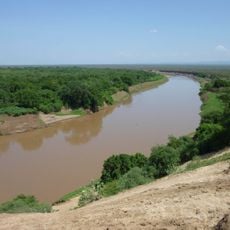
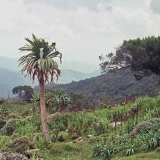
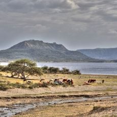
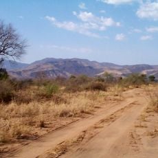
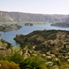
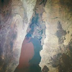
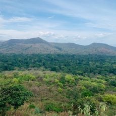
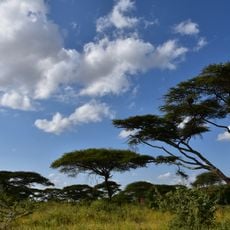
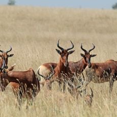
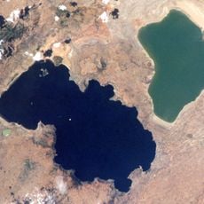
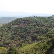
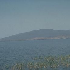
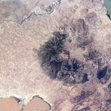
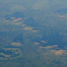
Nechisar National Park is a protected area in the Rift Valley with grasslands, woodlands, and wetlands between two major lakes. The landscape offers open plains and forested slopes that support diverse wildlife and birds.
The protected area was established in 1974 to safeguard regional wildlife species following international recommendations. This decision was part of a broader effort to preserve Ethiopia's natural resources.
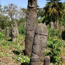
The Dinka and Mursi communities live near the park and their traditions shape how the land is managed and protected. Visitors can encounter these cultures directly in villages surrounding the park boundaries.
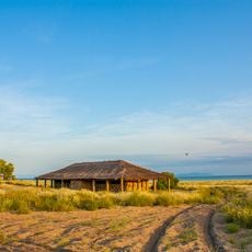
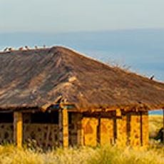
Visitors reach the park from the nearby town of Arba Minch, where rangers and guides organize tours of the area. Boat trips on the lakes and walking excursions are the best ways to observe wildlife and birds.
A natural land bridge connects the two lakes and offers elevated views of the white grass plains below. This formation is known as the Bridge of God and serves as a distinctive viewpoint within the park.
Location: Southern Nations, Nationalities, and Peoples' Region
Inception: 1974
GPS coordinates: 6.03333,37.58330
Latest update: December 6, 2025 16:04
Ethiopia offers photographers a range of subjects from medieval architecture to geologically active zones. In the north, Lalibela features eleven churches carved from solid tuff rock during the 12th and 13th centuries, while Axum holds obelisks from the Aksumite Empire that flourished from the 1st...
Lomekwi
304.6 km
Southwest Ethiopia Regional State
196.5 km
Omo River
247.7 km
Bale Mountains National Park
241 km
Koobi Fora
279 km
Tiya archaeological site
290 km
Abijatta-Shalla National Park
192.2 km
Mago National Park
162.1 km
Wonchi
310 km
Sibiloi National Park
268.6 km
Lower Valley of the Omo
120.2 km
Chebera Churchura National Park
138.2 km
Yabelo Wildlife Sanctuary
154.9 km
Senkelle Swayne's Hartebeest Sanctuary
152.5 km
Adadi Mariam
306.2 km
The Gedeo Cultural Landscape
157.5 km
O'a Caldera
194.2 kmLapurr Sandstone
276.3 kmAwassa Kenema Stadium
149.5 kmVale Inferior do Omo
225.7 km
Konso Cultural Landscape
87.9 km
Corbetti
158.8 km
Alutu
232.7 km
Butajiri-Silti Field
239.3 km
Atalochulo
257.3 km
Donyiro Cliff
258.7 kmTullu Moje
292.2 kmVisited this place? Tap the stars to rate it and share your experience / photos with the community! Try now! You can cancel it anytime.
Discover hidden gems everywhere you go!
From secret cafés to breathtaking viewpoints, skip the crowded tourist spots and find places that match your style. Our app makes it easy with voice search, smart filtering, route optimization, and insider tips from travelers worldwide. Download now for the complete mobile experience.
A unique approach to discovering new places❞
— Le Figaro
All the places worth exploring❞
— France Info
A tailor-made excursion in just a few clicks❞
— 20 Minutes