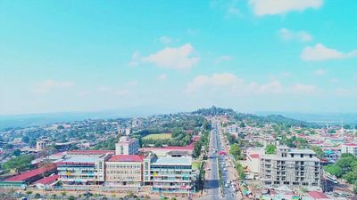
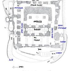
Southern Nations, Nationalities, and Peoples' Region, Administrative region in southwestern Ethiopia
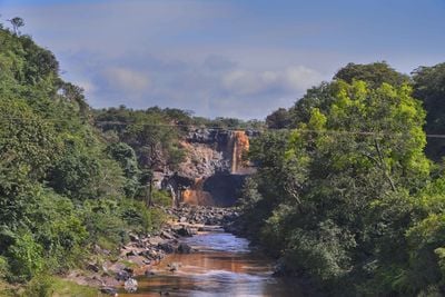
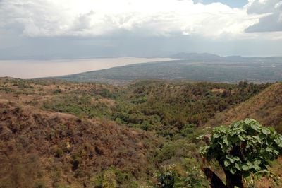
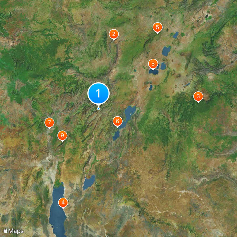
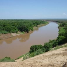
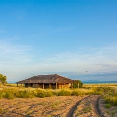
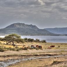
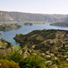
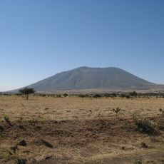
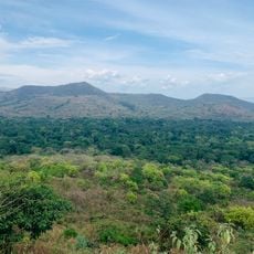
The Southern Nations, Nationalities, and Peoples' Region is an administrative division in southwestern Ethiopia that includes highland plateaus, lake shores, and river valleys. The landscape shifts between farmland growing teff and maize, hillside plots with coffee plants, and patches of forest.
Following the fall of the Derg regime in 1991, the administrative unit emerged by merging older provincial territories to allow ethnic groups self-administration. In early 2023 the unit dissolved, with several areas receiving new administrative structures or being assigned to neighboring regions.
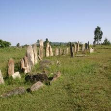
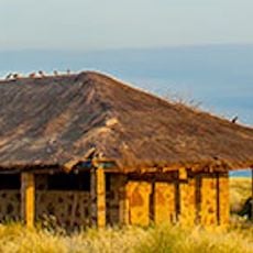
The territory hosts communities with distinct weekly markets where traders sell local spices and handwoven baskets, while women display woven textiles with traditional patterns. Some settlements still maintain building styles with round mud huts and woven fences that shape daily life for residents.
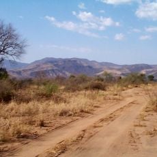
Travelers should allow ample time for overland journeys, as roads vary in quality and weather conditions can affect traffic. Local minibus lines connect larger towns, while remote villages are often reachable only by four-wheel-drive vehicle or on foot.
Some farmers here raise the Dorze sheep with long hair, whose wool is made into soft scarves and blankets. On mountain slopes wild coffee cherries grow, which villagers collect for personal use before drying them in the sun.
The community of curious travelers
AroundUs brings together thousands of curated places, local tips, and hidden gems, enriched daily by 60,000 contributors worldwide.