Enable Location

We need your location to show you interesting places around you

Discover nearby places

Find interesting locations and hidden gems around you

Precise directions

Get accurate directions and distances to places

Your location is never shared with other users. It's only used when you tap the location button.

Cergy

Log in to your account

Start exploring — it's free

Trusted by 60,658 travelers worldwide

Continue with Google
Continue with Apple
or

We will send you a code to connect

By continuing, you accept our Terms and Conditions and our Privacy Policy

Check your inbox

We've sent a pincode in your inbox. Please enter the code below.

Cergy, Administrative center in Val-d'Oise, France

Description

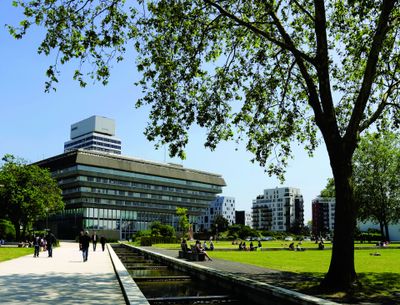
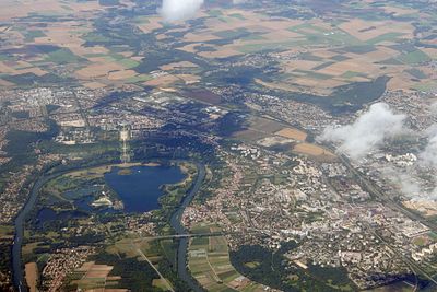
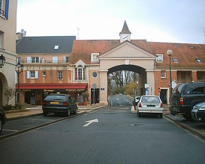
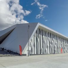
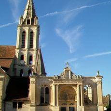
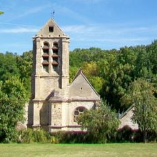
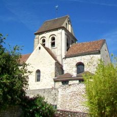
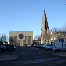
Cergy is an administrative unit in Val-d'Oise that runs along the Oise River, linking residential areas with office districts as well as schools and universities. The townscape shows modern architecture beside older village cores, interspersed with parks and open spaces along the banks.

History

The settlement remained a small farming village with a few hundred inhabitants until the second half of the 20th century. After a regional planning reform, it was rapidly expanded and now hosts important regional offices, even though a neighboring town officially remains the department capital.

Culture

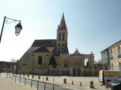
The name Cergy comes from a Roman villa once called Cariciacum, named after its owner. Today, this Latin heritage appears on street signs and public buildings that deliberately reference the ancient origin of the settlement.

Practical

Several regional train stations connect the town to Paris and the airport, with the journey to the capital center taking around 40 minutes. Local bus lines run between different town districts and neighboring communes, making it easier to explore without a car.

Did you know?

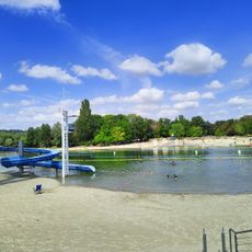
The Port Cergy marina sits directly beside the new town and offers moorings for leisure boats on an artificial body of water. On summer evenings, local residents gather on the waterside terraces to watch the late sun over the low hills.

Location
Elevation above the sea
65 m
Shares border with
Osny, Courdimanche, Éragny, Neuville-sur-Oise, Pontoise, Puiseux-Pontoise, Vauréal
Address
Cergy-Pontoise, France
Phone
GPS coordinates
49.05222,2.03611
Latest update
December 13, 2025 17:09

AroundUs brings together thousands of curated places, local tips, and hidden gems, enriched daily by 60,000 contributors worldwide. Discover all places nearby (Val-d'Oise).

« Cergy - Administrative center in Val-d'Oise, France » is provided by Around Us (aroundus.com). Images and texts are derived from Wikimedia project under a Creative Commons license. You are allowed to copy, distribute, and modify copies of this page, under the conditions set by the license, as long as this note is clearly visible.

Discover hidden gems everywhere you go!

From secret cafés to breathtaking viewpoints, skip the crowded tourist spots and find places that match your style. Our app makes it easy with voice search, smart filtering, route optimization, and insider tips from travelers worldwide. Download now for the complete mobile experience.

Around Us App Screenshot

A unique approach to discovering new places

Le Figaro

All the places worth exploring

France Info

A tailor-made excursion in just a few clicks

20 Minutes

Around Us
Travel Guide & Maps
Download

Send to your phone

QR Code
1

Open the camera app on your mobile.

2

Point at the QR code with your camera. A notification will appear.

3

Tap the notification to open the link.