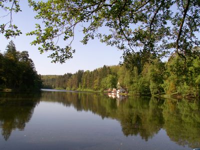
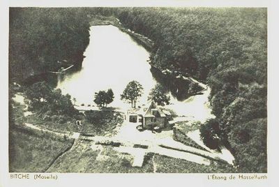
Étang de Hasselfurth, reservoir
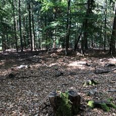
The Hasselfurth Reservoir is a man-made lake near Bitche surrounded by dense forest and part of the North Vosges Natural Regional Park. The site offers walking trails around the water's edge, picnic areas, a children's play area, and facilities for water activities including boat rentals and swimming during summer months.
The reservoir was purchased by the city of Bitche in the 1980s and converted into a recreational facility. Before that, a Jesuit college stood nearby where students used bathing facilities built by Abbot Lamberton along the shore for summer relief from their studies.
The name comes from the local language and means 'hazel pond'. Today, families and friends from the area gather here regularly, having made it a social meeting place passed down through generations.
The site is free to visit year-round and easily reached by car with ample parking at the entrance. Walking trails are flat and accessible for all abilities, though swimming is unattended so caution is needed when entering the water.
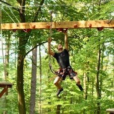
A treetop adventure park called TEPACAP sits just a few hundred meters away, offering rope courses with zip lines and suspension bridges at various difficulty levels. The park has expanded the recreational offerings and attracts families seeking outdoor thrills.
The community of curious travelers
AroundUs brings together thousands of curated places, local tips, and hidden gems, enriched daily by 60,000 contributors worldwide.