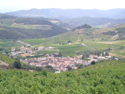
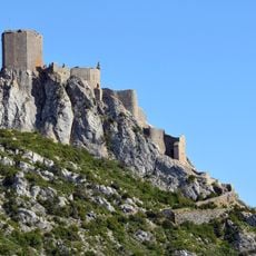
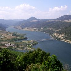
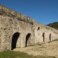
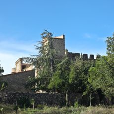
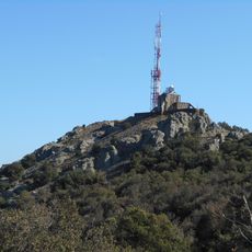
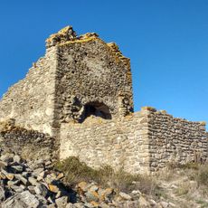
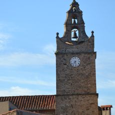
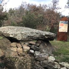
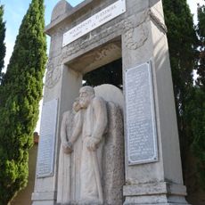
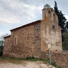
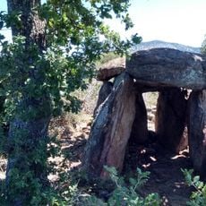
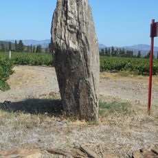
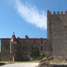
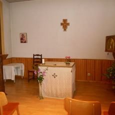
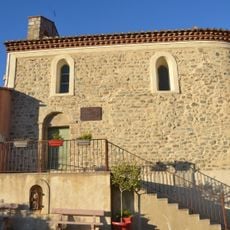
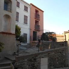
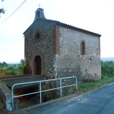
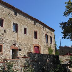
Rasiguères, commune in Pyrénées-Orientales, France
Location: canton of Latour-de-France
Location: Pyrénées-Orientales
Location: arrondissement of Prades
Elevation above the sea: 244 m
Shares border with: Maury, Planèzes, Cassagnes, Caramany, Lansac, Lesquerde
Phone: +33468290424
Email: mairie.rasigueres@orange.fr
GPS coordinates: 42.76583,2.60889
Latest update: May 30, 2025 08:37
Château de Quéribus
8 km
Lac de Caramany
4.4 km
Ansignan aqueduct
7.7 km
Castle of Bélesta
5.4 km
Château de Cuxous
3 km
Dolmen du Molí del Vent
4.4 km
Cauna de Bélesta
5.7 km
Chapelle Saint-Martin de Latour-de-France
1.9 km
Castell de Força Real
7 km
Church of Saint-Barthélemy de Jonqueroles
3.9 km
Église Saint-Étienne de Caramany
4.6 km
Dolmen de las Apostados
7.5 km
Église Saint-Barthélemy de Bélesta
5.3 km
Estagel war memorial
7.3 km
Église Saint-Cyprien de Cuchous
3 km
Dolmen de la Rouyre
8.3 km
Pedra Dreta de Caladroer
5.8 km
Église Saint-Roch de Lesquerde
7.2 km
Château de Caladroy
5.6 km
Église Saint-Just de Lansac
3.9 km
Église Saint-Jacques de Montner
5.8 km
Église Saint-Nazaire-et-Saint-Celse d'Ansignan
7.5 km
Chapelle de l'Immaculée-Conception d'Estagel
7.3 km
Église Saint-Pierre de Saint-Arnac
6.7 km
Église Notre-Dame-de-l'Assomption de Trilla
7.8 km
Castell de Montner
5.8 km
Chapelle Notre-Dame-de-Montserrat d'Estagel
6.9 km
Chapel Saint-Michel du Château de Caladroy
4.8 kmReviews
Visited this place? Tap the stars to rate it and share your experience / photos with the community! Try now! You can cancel it anytime.
Discover hidden gems everywhere you go!
From secret cafés to breathtaking viewpoints, skip the crowded tourist spots and find places that match your style. Our app makes it easy with voice search, smart filtering, route optimization, and insider tips from travelers worldwide. Download now for the complete mobile experience.
A unique approach to discovering new places❞
— Le Figaro
All the places worth exploring❞
— France Info
A tailor-made excursion in just a few clicks❞
— 20 Minutes