Sainte-Mère-Église

Log in to your account

AroundUs is a community-driven map of interesting places, built by curious explorers like you. It grows with every review, story, and photo you share.
Connect to save your favorite spots, contribute locations, and create personalized routes.
Continue with Google
Continue with Apple
Continue with X
Continue with Facebook
Continue with email
By continuing, you accept our Terms and Conditions and our Privacy Policy
Create an account
Add to collection
Map
Suggest a change
Share

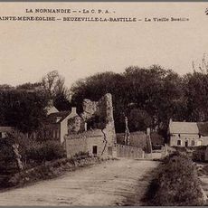
Sainte-Mère-Église, Norman commune in Manche, France.

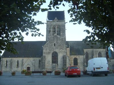
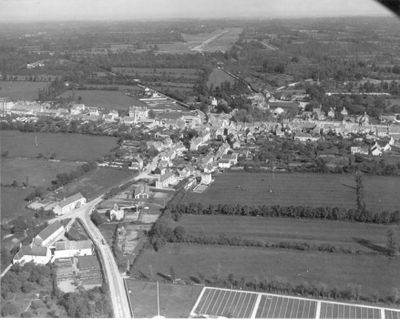
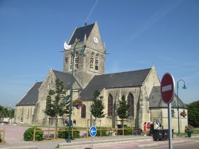
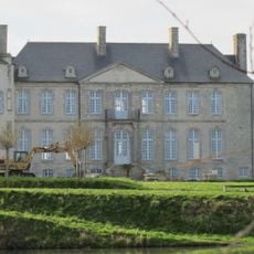
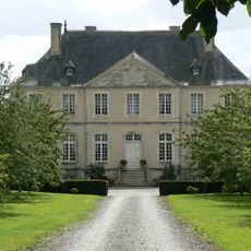
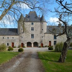
Sainte-Mère-Église is a commune in the Manche department of Normandy, uniting several merged settlements on flat ground between river and coast. Buildings spread loosely along a few roads that gather around a central square with church and administrative offices.

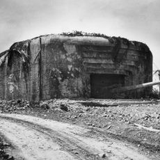
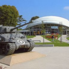
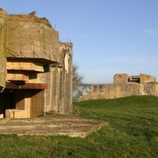
American paratroopers landed here in the night of June 6, 1944, and secured the settlement as one of the first points in occupied Europe. Since then, the commune has stood as a symbol of the Allied landing in Normandy.

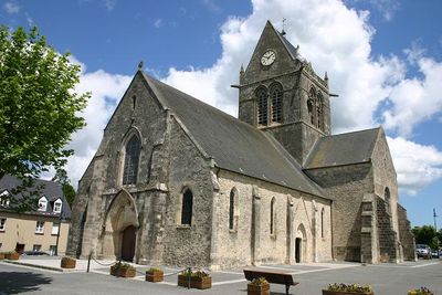
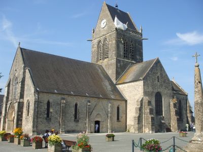
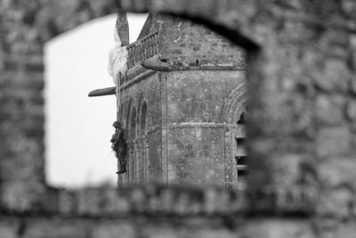
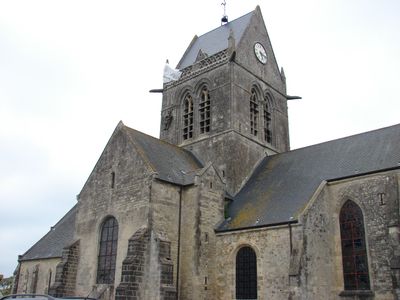
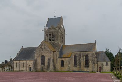
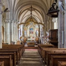
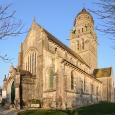
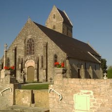
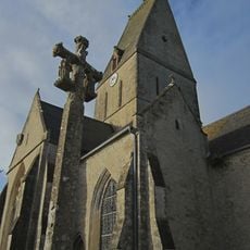
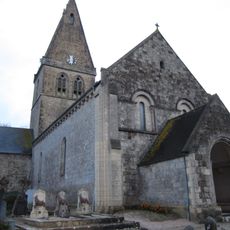
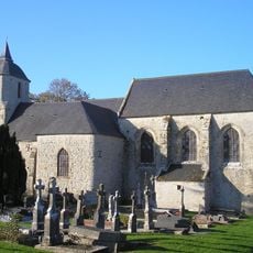
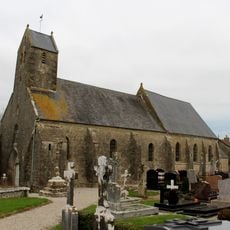
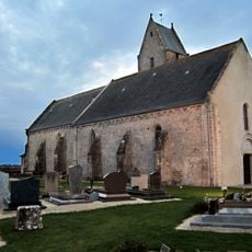
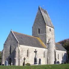
The name honors a medieval church dedicated to the Mother of God, which still stands at the heart of the settlement. Visitors notice memorial plaques and military symbols on the façade, recalling the paratroopers of World War Two.

The central square is the best starting point for a walk, as shops, cafés, and information boards are gathered there. Those who wish to explore the surroundings will find quiet paths through meadows and fields around the settlement.

A parachute dummy hangs year-round from the church tower, recalling soldier John Steele who got stuck there during the landing. This installation has become a landmark, drawing many visitors who want to recreate the photograph.

Location: Manche

Location: arrondissement of Cherbourg

Inception: January 1, 2019

Shares border with: Fresville, Neuville-au-Plain, Saint-Germain-de-Varreville, Saint-Martin-de-Varreville, Turqueville, Sébeville, Beuzeville-la-Bastille, Picauville, Azeville, Saint-Marcouf, Liesville-sur-Douve, Blosville

Website: http://saintemereeglise.fr

GPS coordinates: 49.40889,-1.31778

Latest update: December 13, 2025 18:22

Photos
Reviews

Visited this place? Tap the stars to rate it and share your experience / photos with the community! Try now! You can cancel it anytime.

« Sainte-Mère-Église - Norman commune in Manche, France » is provided by Around Us (aroundus.com). Images and texts are derived from Wikimedia project under a Creative Commons license. You are allowed to copy, distribute, and modify copies of this page, under the conditions set by the license, as long as this note is clearly visible.

Discover hidden gems everywhere you go!

From secret cafés to breathtaking viewpoints, skip the crowded tourist spots and find places that match your style. Our app makes it easy with voice search, smart filtering, route optimization, and insider tips from travelers worldwide. Download now for the complete mobile experience.

Around Us App Screenshot

A unique approach to discovering new places

Le Figaro

All the places worth exploring

France Info

A tailor-made excursion in just a few clicks

20 Minutes