Chest opened
+${chestReward.xp} XP
Explorer
NOUVEAU ×${chestReward.collectible.quantity}
tapez pour fermer
Chest locked

Open chests in the app

Around Us is built for your phone — chests unlock when you walk, explore and capture nearby places.

Enable Location

We need your location to show you interesting places around you

Discover nearby places

Find interesting locations and hidden gems around you

Precise directions

Get accurate directions and distances to places

Your location is never shared with other users. It's only used when you tap the location button.

Log in to your account

Start exploring — it's free

Trusted by 72,969 travelers worldwide

Continue with Google
Continue with Apple
or

We will send you a code to connect

By continuing, you accept our Terms and Conditions and our Privacy Policy

Check your inbox

We've sent a pincode in your inbox. Please enter the code below.

Plateau Saint Jean
Discussion Reviews Photo
20+ Popularity

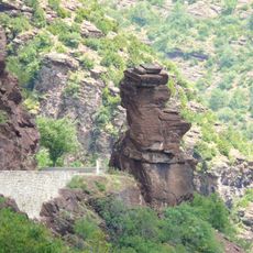
Plateau Saint Jean, Mountain summit in Auvergne-Rhône-Alpes, France

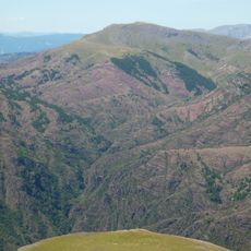
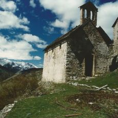
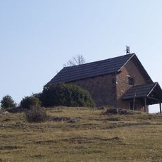
Plateau Saint Jean is a mountain summit in the Auvergne-Rhône-Alpes region at around 1,740 meters elevation, with two distinct peaks: Mont Mounier to the north and Cluots summit to the south. The site features a 19th-century chapel and a wooden shelter for hikers.

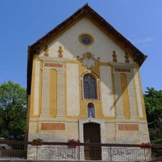
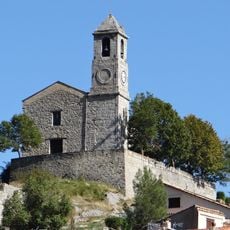
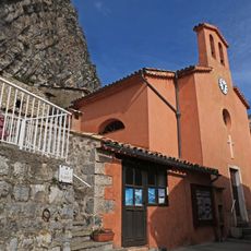
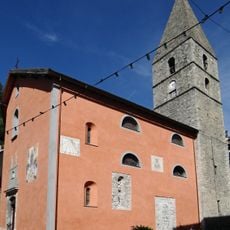
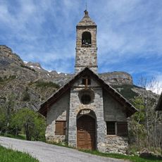
The Saint John the Baptist Chapel was built on the plateau during the 19th century and has been a landmark since then. Major restoration work took place throughout the 1990s to preserve its structure.

The chapel on the plateau draws a yearly pilgrimage at the end of June, when locals gather to perform traditional blessings for their livestock. This celebration ties the community to the place and its spiritual role.

The trail starts at Col de Sainte-Anne at 1,551 meters and follows a small road toward the Le Mounier building before turning right toward Collet de Guérin. The walk is moderate with clear markings and allows time to visit the chapel and wooden shelter.

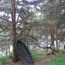
A wooden shelter positioned below the chapel offers hikers a rest spot at the high elevation. This simple structure is an overlooked detail that visitors often appreciate when they need a break during their time on the summit.

The community of curious travelers

AroundUs brings together thousands of curated places, local tips, and hidden gems, enriched daily by 60,000 contributors worldwide.

Start exploring
Elevation above the sea
1,740 m
GPS coordinates
44.07361,6.97556
Latest update
December 15, 2025 13:22
Reviews
Share your experience

No review yet

Discussions
Start a discussion...

No discussion yet

« Plateau Saint Jean - Mountain summit in Auvergne-Rhône-Alpes, France » is provided by Around Us (aroundus.com). Images and texts are derived from Wikimedia project under a Creative Commons license. You are allowed to copy, distribute, and modify copies of this page, under the conditions set by the license, as long as this note is clearly visible.

Discover hidden gems everywhere you go!

From secret cafés to breathtaking viewpoints, skip the crowded tourist spots and find places that match your style. Our app makes it easy with voice search, smart filtering, route optimization, and insider tips from travelers worldwide. Download now for the complete mobile experience.

Around Us App Screenshot

A unique approach to discovering new places

Le Figaro

All the places worth exploring

France Info

A tailor-made excursion in just a few clicks

20 Minutes

Around Us
Travel Guide & Maps
Download

Send to your phone

QR Code
1

Open the camera app on your mobile.

2

Point at the QR code with your camera. A notification will appear.

3

Tap the notification to open the link.