Croix de la Roche, Alpine summit in Isère department, France
Croix de la Roche is an Alpine summit in the Isère department that rises to approximately 1272 meters above sea level. Its slopes offer varied hiking routes suited to different skill levels and fitness abilities.
Multiple hiking trails developed over generations as local communities sought access to mountain pastures and natural resources on the slopes. These pathways reflect a long history of mountain land use in the region.
The name refers to a stone cross that has served as a landmark for travelers and shepherds for centuries. Local herding practices remain visible in the grazing patterns across the slopes, where shepherds continue to move their flocks seasonally.
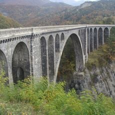
The summit can be reached from the villages of Valbonnais and Saint-Sébastien via several marked trails that offer different starting points. Mountain conditions vary by season, so checking local information before departure helps ensure a safer, more enjoyable experience.
Historical irrigation channels run along the mountain slopes, revealing water management techniques developed centuries ago by people living in nearby Beaumont. These channels directed water to fields and pastures below, and traces of this engineering remain visible to attentive hikers.
The community of curious travelers
AroundUs brings together thousands of curated places, local tips, and hidden gems, enriched daily by 60,000 contributors worldwide.