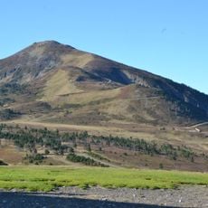
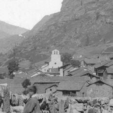
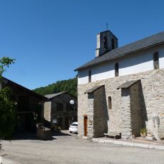
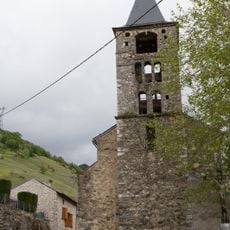
Le Lata, Mountain summit in the Pyrenees, France
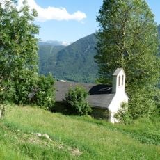
Le Lata is a mountain summit in the Pyrenees, standing at roughly 1700 meters high. From its peak, you can see across several mountain chains and valleys that stretch through the region.
The peak has been documented on French maps for centuries, serving as a reference point in the Pyrenean region. Its position and name reflect the long history of surveying and understanding this mountain landscape.
Local shepherds maintain traditional pastoral practices by using Le Lata slopes for seasonal grazing, continuing centuries-old mountain agriculture.
Hiking to the summit requires proper equipment and following marked trails that begin from nearby villages. Good footwear and preparation are essential to safely complete this mountain route.
The peak stands at precise coordinates of 42.6876 latitude and 1.8617 longitude, providing views across multiple mountain valleys.
The community of curious travelers
AroundUs brings together thousands of curated places, local tips, and hidden gems, enriched daily by 60,000 contributors worldwide.