Pic de Tarbésou, Mountain peak in Ascou and Mijanès, France
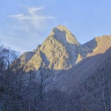
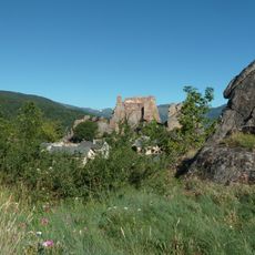
The Pic de Tarbésou is a mountain peak in the Pyrenees that rises to 2364 meters between the municipalities of Ascou and Mijanès. From the top, visitors can see views across to the Mont Valier and Canigou mountain ranges.
The summit lies on the boundary between the communes of Ascou and Mijanès, at the northern end of the small Donezan massif that extends the Carlit massif. The massif takes its name from Donezan, the historic entity on its eastern slope corresponding to the former canton of Quérigut, an isolated part of the Ariège department. The peak stands just beyond the north-western edge of the Hercynian Quérigut pluton, on Cambrian metasediments of the Jujols group, around 500 million years old.
The summit lies on the boundary between Ascou and Mijanès, and the massif takes its alternate name, Donezan, from the historic district on its eastern slope, the former canton of Quérigut. The peak also appears, stylised together with the Dent d'Orlu, on the national insignia of the Gendarmerie's mountain units, drawn by the Ariège painter Ryton Cazenave in 1971.
The hiking route starts at a base point at 1950 meters and follows clearly marked trails through the mountain terrain. This walk requires moderate physical fitness and takes several hours for the round trip.
The national badge of the French Gendarmerie's mountain units, drawn in 1971 by the Ariège painter Ryton Cazenave, incorporates a stylised Pic de Tarbésou together with the Dent d'Orlu. The summit stands on Cambrian metasediments of the Jujols group, around 500 million years old, just beyond the north-western edge of the Hercynian Quérigut pluton of granite and gabbro.
The community of curious travelers
AroundUs brings together thousands of curated places, local tips, and hidden gems, enriched daily by 93,339 contributors worldwide.