Enable Location

We need your location to show you interesting places around you

Discover nearby places

Find interesting locations and hidden gems around you

Precise directions

Get accurate directions and distances to places

Your location is never shared with other users. It's only used when you tap the location button.

Purba Medinipur district

Log in to your account

Start exploring — it's free

Trusted by 62,537 travelers worldwide

Continue with Google
Continue with Apple
or

We will send you a code to connect

By continuing, you accept our Terms and Conditions and our Privacy Policy

Check your inbox

We've sent a pincode in your inbox. Please enter the code below.

Purba Medinipur district

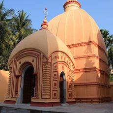
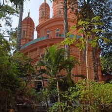
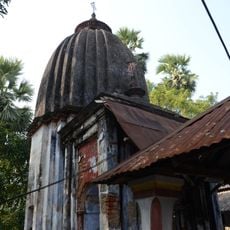
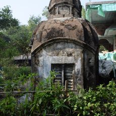
Purba Medinipur district, Administrative district in West Bengal, India

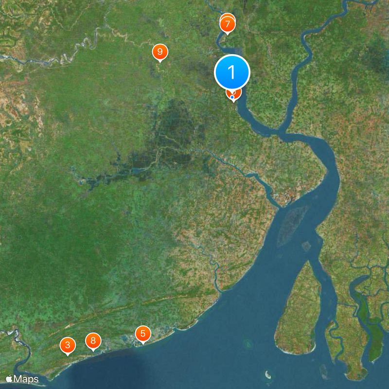
This district in West Bengal runs from flat northern farmland down to the coast where the Bay of Bengal meets fishing villages and tidal zones. Four subdivisions organize the territory, managing everyday services through local centers and police posts scattered across the region.

The district was created in 2003 when the older Medinipur territory was split into two separate administrative areas. Tamluk became the headquarters, housing the main offices and central functions.

The district maintains a literacy rate of 87.66 percent, with Bengali serving as the primary language for 98.31 percent of its 5.1 million residents.

Travelers moving through the area should expect long distances between larger towns and plan to use subdivision centers for orientation. Local connections run regularly between settlements, though routes often follow longer paths through rural terrain.

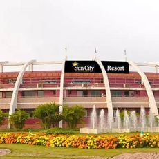
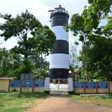
Haldia hosts a major industrial port along the Hooghly River, where cargo ships meet factory complexes and warehouses. The port town forms a sharp contrast to the surrounding rice paddies and fishing villages along the coast.

The community of curious travelers

AroundUs brings together thousands of curated places, local tips, and hidden gems, enriched daily by 60,000 contributors worldwide.

Start exploring
Capital city
Tamluk
Shares border with
Balasore district, Paschim Medinipur district, Howrah district
GPS coordinates
22.30000,87.92000
Latest update
December 13, 2025 18:21
« Purba Medinipur district - Administrative district in West Bengal, India » is provided by Around Us (aroundus.com). Images and texts are derived from Wikimedia project under a Creative Commons license. You are allowed to copy, distribute, and modify copies of this page, under the conditions set by the license, as long as this note is clearly visible.

Discover hidden gems everywhere you go!

From secret cafés to breathtaking viewpoints, skip the crowded tourist spots and find places that match your style. Our app makes it easy with voice search, smart filtering, route optimization, and insider tips from travelers worldwide. Download now for the complete mobile experience.

Around Us App Screenshot

A unique approach to discovering new places

Le Figaro

All the places worth exploring

France Info

A tailor-made excursion in just a few clicks

20 Minutes

Around Us
Travel Guide & Maps
Download

Send to your phone

QR Code
1

Open the camera app on your mobile.

2

Point at the QR code with your camera. A notification will appear.

3

Tap the notification to open the link.