Enable Location

We need your location to show you interesting places around you

Discover nearby places

Find interesting locations and hidden gems around you

Precise directions

Get accurate directions and distances to places

Your location is never shared with other users. It's only used when you tap the location button.

Log in to your account

Start exploring — it's free

Trusted by 67,488 travelers worldwide

Continue with Google
Continue with Apple
or

We will send you a code to connect

By continuing, you accept our Terms and Conditions and our Privacy Policy

Check your inbox

We've sent a pincode in your inbox. Please enter the code below.

Purulia I community development block
Discussion Reviews Photo
2.7k Popularity

Purulia I community development block, Community development block in Purulia Sadar subdivision, India.

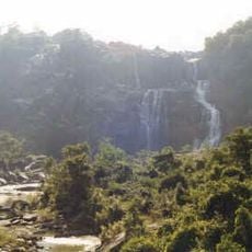
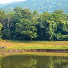
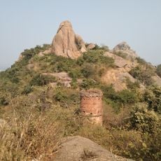
Purulia I is an administrative block in the Purulia Sadar subdivision with a land area of approximately 310 square kilometers situated in hilly terrain. The region comprises multiple villages engaged primarily in agriculture and is connected by road and rail networks.

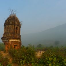
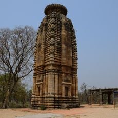
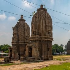
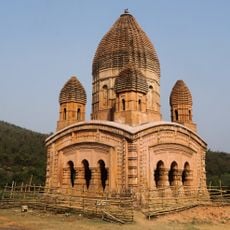
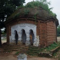
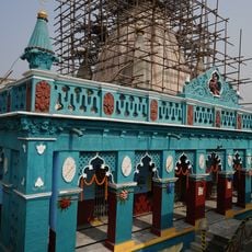
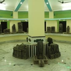
The territory was part of the ancient Vajra-bhumi kingdom during the fifth century, as mentioned in religious manuscripts from that era. This early connection shows that people have lived and organized in this area for many centuries.

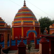
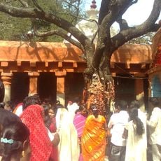
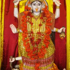
The Bhadu Puja festival is celebrated during the rice harvest season, with the Bagdi and Bouri communities paying special devotion to the goddess Bhadu. This practice ties local people to the agricultural cycle and shapes the spiritual life of the area.

The region is accessible through the Adra-Chandil railway line and multiple bus services that connect all inhabited villages. Visitors can rely on established routes and local transport options to move around the area.

Farmers in this block cultivate Aman rice and wheat while having access to modern banking services and schools at the local level. This blend of traditional farming and rural infrastructure represents the way development has unfolded in this part of the region.

The community of curious travelers

AroundUs brings together thousands of curated places, local tips, and hidden gems, enriched daily by 60,000 contributors worldwide.

Start exploring
Elevation above the sea
240 m
Shares border with
Joypur community development block, Arsha community development block, Barabazar community development block, Manbazar I community development block, Puncha community development block, Hura community development block, Purulia II community development block
GPS coordinates
23.32381,86.34567
Latest update
December 12, 2025 14:22
Reviews
Share your experience

No review yet

Discussions
Start a discussion...

No discussion yet

« Purulia I community development block - Community development block in Purulia Sadar subdivision, India » is provided by Around Us (aroundus.com). Images and texts are derived from Wikimedia project under a Creative Commons license. You are allowed to copy, distribute, and modify copies of this page, under the conditions set by the license, as long as this note is clearly visible.

Discover hidden gems everywhere you go!

From secret cafés to breathtaking viewpoints, skip the crowded tourist spots and find places that match your style. Our app makes it easy with voice search, smart filtering, route optimization, and insider tips from travelers worldwide. Download now for the complete mobile experience.

Around Us App Screenshot

A unique approach to discovering new places

Le Figaro

All the places worth exploring

France Info

A tailor-made excursion in just a few clicks

20 Minutes

Around Us
Travel Guide & Maps
Download

Send to your phone

QR Code
1

Open the camera app on your mobile.

2

Point at the QR code with your camera. A notification will appear.

3

Tap the notification to open the link.