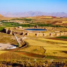
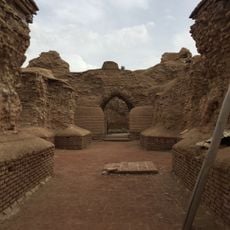
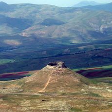
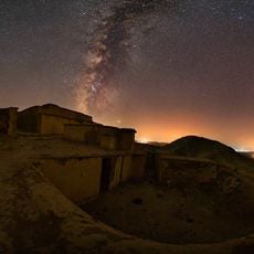
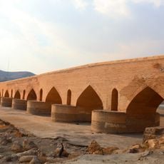
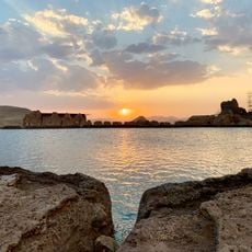
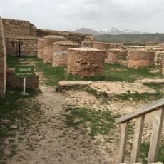
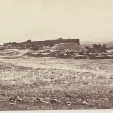
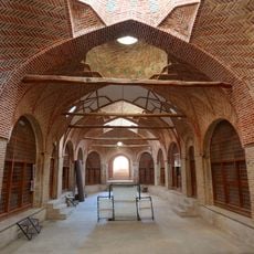
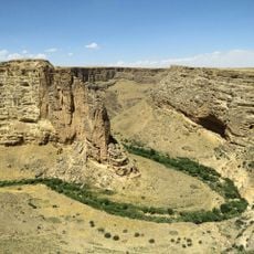
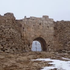
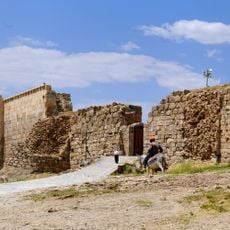
Chaman Rural District, rural district in West Azerbaijan, Iran
Location: Takht-e Soleyman District
GPS coordinates: 36.55000,47.21667
Latest update: March 3, 2025 02:11
Takht-e Soleyman
6.3 km
Adur Gushnasp
6.4 km
Ziwiye
57.2 km
Matiene
64.4 km
Zendan-e Soleyman
7.3 km
Ziwiyeh Castle
56.4 km
Saqqez Bazaar
91.6 km
Karaftu
45.5 km
Haj Saleh Hammam
91.7 km
Behestan Castle
48.1 km
Sardar Castle
90.3 km
Sardar Mokri Mausoleum
90 km
Salavatabad Bridge
67.4 km
Takht-e Soleyman Lake
6.2 km
Goljiks grotta
79.8 km
Second temple of Takht-e Soleyman
6.3 km
Tepe Kal
90.3 km
Bijar Bazaar
83.1 km
Hammamian Mosque
91.2 km
Qarah Gol
82.4 km
Qechlī Gol
68.2 km
Shahan Valley
53.9 km
Old southern gate of Takht-e Soleyman
6.2 km
New southern gate of Takht-e Soleyman
6.1 km
Jameh Mosque of Bukan
90.3 km
میل خوئین
83.3 km
Zendan-e Soleyman Lake
7.3 km
Aydughmush Dam
88.5 kmReviews
Visited this place? Tap the stars to rate it and share your experience / photos with the community! Try now! You can cancel it anytime.
Discover hidden gems everywhere you go!
From secret cafés to breathtaking viewpoints, skip the crowded tourist spots and find places that match your style. Our app makes it easy with voice search, smart filtering, route optimization, and insider tips from travelers worldwide. Download now for the complete mobile experience.
A unique approach to discovering new places❞
— Le Figaro
All the places worth exploring❞
— France Info
A tailor-made excursion in just a few clicks❞
— 20 Minutes