Navelli

Log in to your account

AroundUs is a community-driven map of interesting places, built by curious explorers like you. It grows with every review, story, and photo you share.
Connect to save your favorite spots, contribute locations, and create personalized routes.
Continue with Google
Continue with Apple
Continue with X
Continue with Facebook
Continue with email
By continuing, you accept our Terms and Conditions and our Privacy Policy
Create an account
Add to collection
Map
Suggest a change
Share

Navelli, Medieval commune in Province of L'Aquila, Italy

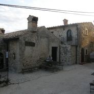
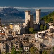
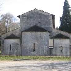
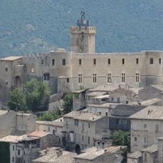
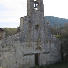
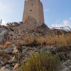
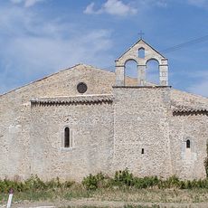
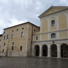
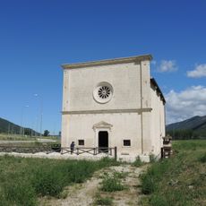
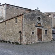
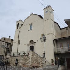
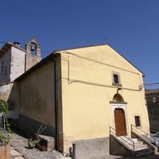
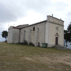
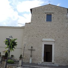
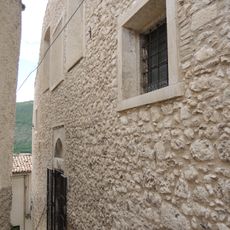
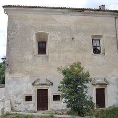
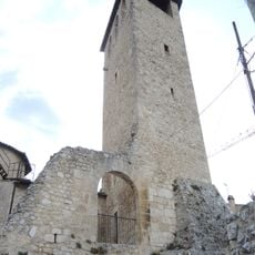
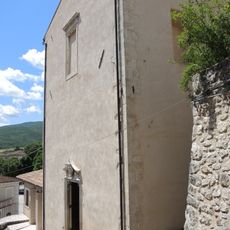
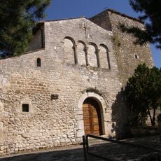
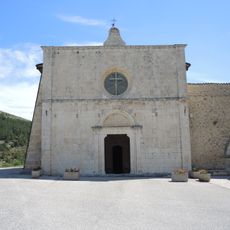
Navelli is a commune in the Province of L'Aquila sitting at about 760 meters elevation in the Abruzzo region, featuring tightly built stone structures and winding streets. The settlement includes several neighborhoods, with Civitaretenga notable for its medieval tower and the Church of San Sebastiano serving as a central landmark.

The territory was first inhabited by the Vestini people, an ancient group who controlled the region before Roman expansion. The settlement later became strategically important for overseeing trade routes that crossed the mountain landscape.

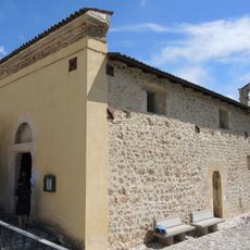
The name comes from the Vestini people who once lived here. Today you see medieval stone buildings and narrow pathways that locals and visitors walk through, creating the character of this hillside settlement.

The settlement sits on hillside terrain and is best explored on foot, with narrow lanes and stairs requiring a slower pace through the streets. Visitors should expect uneven walking surfaces and steep sections, especially when moving between different neighborhoods within the commune.

The area is renowned for producing high-grade saffron, a red spice that has been grown here for centuries using traditional methods. The specific soil composition and mountain climate create conditions suitable for cultivating this rare and costly crop.

Location: Province of L'Aquila

Capital city: Navelli

Elevation above the sea: 760 m

Shares border with: Bussi sul Tirino, Capestrano, Carapelle Calvisio, Collepietro, San Benedetto in Perillis, Acciano, Caporciano, Castelvecchio Calvisio

Address: Comune, Via Pereto, 1

Website: http://comunenavelli.gov.it

GPS coordinates: 42.23721,13.72961

Latest update: December 6, 2025 16:03

Photos
Cultural sites and natural areas in Abruzzo

Abruzzo brings together medieval villages, Roman sites, and mountain landscapes. Rocca Calascio rises to 1,460 meters (4,790 feet), offering views across the region from its ancient fortress walls. Gran Sasso and Majella national parks welcome hikers to explore trails through mountain terrain, where...

Reviews

Visited this place? Tap the stars to rate it and share your experience / photos with the community! Try now! You can cancel it anytime.

« Navelli - Medieval commune in Province of L'Aquila, Italy » is provided by Around Us (aroundus.com). Images and texts are derived from Wikimedia project under a Creative Commons license. You are allowed to copy, distribute, and modify copies of this page, under the conditions set by the license, as long as this note is clearly visible.

Discover hidden gems everywhere you go!

From secret cafés to breathtaking viewpoints, skip the crowded tourist spots and find places that match your style. Our app makes it easy with voice search, smart filtering, route optimization, and insider tips from travelers worldwide. Download now for the complete mobile experience.

Around Us App Screenshot

A unique approach to discovering new places

Le Figaro

All the places worth exploring

France Info

A tailor-made excursion in just a few clicks

20 Minutes