Pietrapertosa

Log in to your account

AroundUs is a community-driven map of interesting places, built by curious explorers like you. It grows with every review, story, and photo you share.
Connect to save your favorite spots, contribute locations, and create personalized routes.
Continue with Google
Continue with Apple
Continue with X
Continue with Facebook
Continue with email
By continuing, you accept our Terms and Conditions and our Privacy Policy
Create an account
Add to collection
Map
Suggest a change
Share

Pietrapertosa, Mountain village in Basilicata, Italy

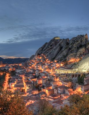
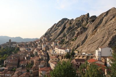
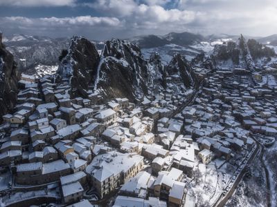
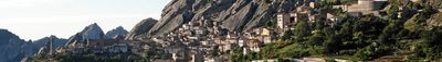
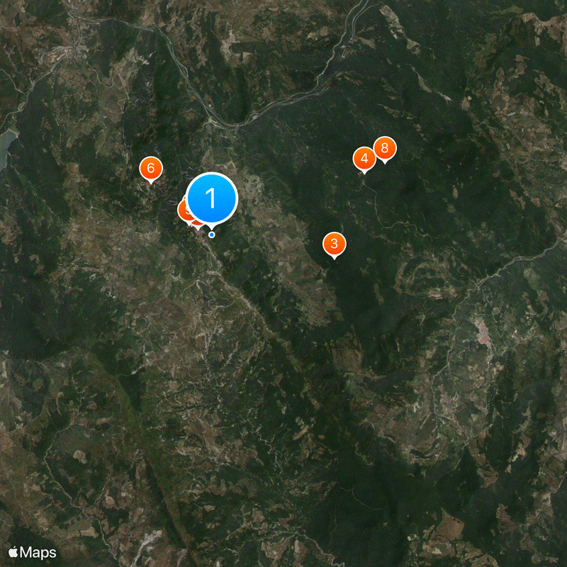
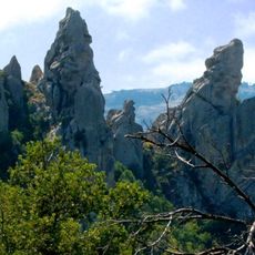
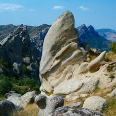
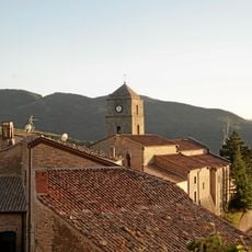
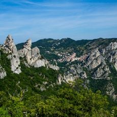
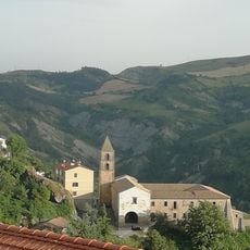
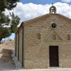
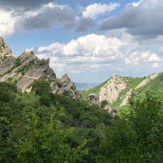
Pietrapertosa is a mountain village in the province of Potenza at 1,088 meters elevation, situated among rocky cliffs in the Lucanian Dolomites. Traditional stone houses are built directly into natural rock formations, using the existing mountain structure as an integral part of their architecture.

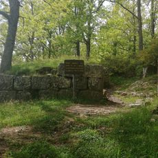
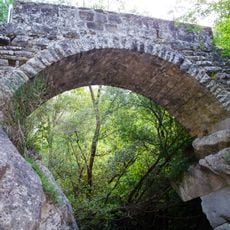
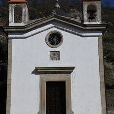
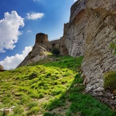
The settlement originated with the Samnites before Romans built fortifications, and Normans later expanded it after recognizing its strategic position between two seas. This layering of historical influences shaped the place over multiple periods.

The Arabata quarter displays architectural features from Arab influences, with narrow stepped streets winding between traditional stone dwellings against the mountain. This district shows how different cultures left their mark on the built environment and daily life of residents.

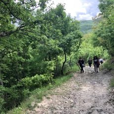
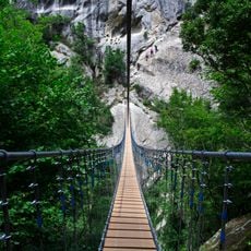
The village connects to neighboring Castelmezzano through walking paths and the Volo dell'Angelo zip line, which reaches speeds of 120 kilometers per hour. Visitors should know that the steep terrain means narrow, winding streets with many stairs, making exploration on foot physically demanding.

A particularly striking feature is that multiple residences use natural rock formations as their back walls, blurring the boundary between construction and mountain. This integration of nature and human shelter is uncommon and shows adaptation to the extreme landscape.

Location: province of Potenza

Capital city: Pietrapertosa

Elevation above the sea: 1,088 m

Shares border with: Albano di Lucania, Campomaggiore, Cirigliano, Gorgoglione, Laurenzana, Accettura, Castelmezzano, Corleto Perticara

Website: http://comune.pietrapertosa.pz.it

GPS coordinates: 40.51667,16.06667

Latest update: December 19, 2025 23:40

Photos
Reviews

Visited this place? Tap the stars to rate it and share your experience / photos with the community! Try now! You can cancel it anytime.

« Pietrapertosa - Mountain village in Basilicata, Italy » is provided by Around Us (aroundus.com). Images and texts are derived from Wikimedia project under a Creative Commons license. You are allowed to copy, distribute, and modify copies of this page, under the conditions set by the license, as long as this note is clearly visible.

Discover hidden gems everywhere you go!

From secret cafés to breathtaking viewpoints, skip the crowded tourist spots and find places that match your style. Our app makes it easy with voice search, smart filtering, route optimization, and insider tips from travelers worldwide. Download now for the complete mobile experience.

Around Us App Screenshot

A unique approach to discovering new places

Le Figaro

All the places worth exploring

France Info

A tailor-made excursion in just a few clicks

20 Minutes