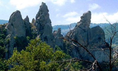
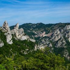
Lucanian Dolomites, Mountain range in Basilicata, Italy
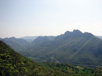
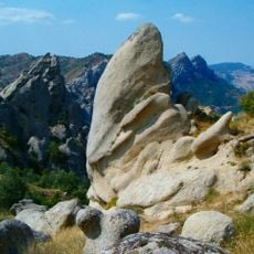
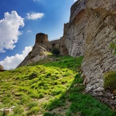
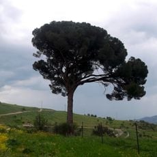
The Lucanian Dolomites are a mountain massif in Basilicata with sharp rocky peaks, the highest reaching 1455 meters (4774 feet) elevation. The landscape spans five municipalities and is protected as a regional park, offering varied terrain and natural formations for visitors to explore.
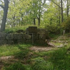
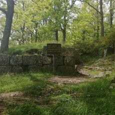
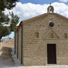
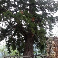
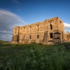
These mountains formed around 15 million years ago through tectonic movements that shaped the limestone peaks and valleys. Medieval settlements later developed on these slopes, with villages built directly into the rock face to adapt to the challenging terrain.
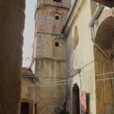
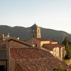
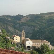
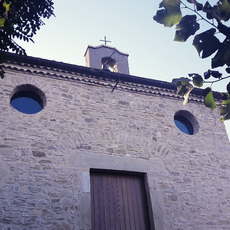
The villages of Castelmezzano and Pietrapertosa are built directly into the rock face, showing how communities have adapted to living within this dramatic landscape. The narrow streets and stone buildings reflect a long tradition of living closely with the mountains that continues in local customs today.
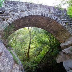
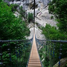
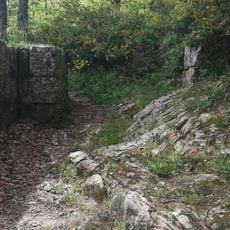
The area can be explored via hiking trails connecting the five villages, ranging from easy walks to more demanding routes. Spring through fall offers the most comfortable visiting conditions, with pleasant weather and good trail conditions throughout these months.
The range earned its name from geological similarities to the northeastern Italian Dolomites, despite being located hundreds of kilometers away in a completely different region. This naming often surprises visitors who discover such a distinctive mountain formation in the southern Apennines rather than the Alps.
The community of curious travelers
AroundUs brings together thousands of curated places, local tips, and hidden gems, enriched daily by 60,000 contributors worldwide.