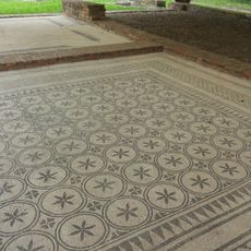
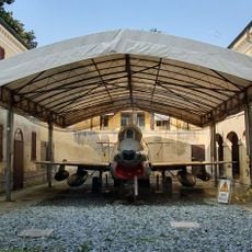
Cotignola, Italian comune
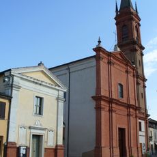
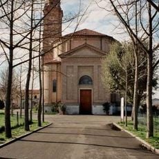
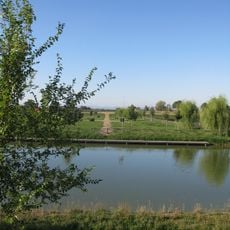
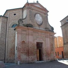
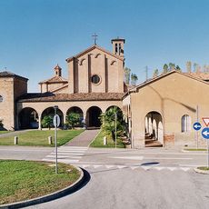
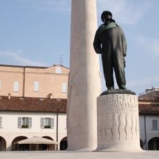
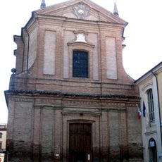
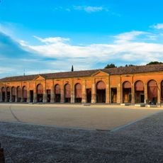
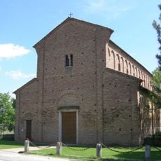
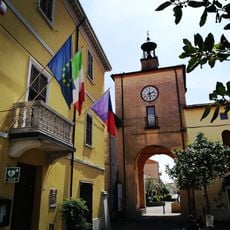
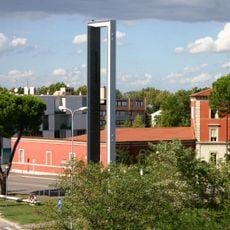
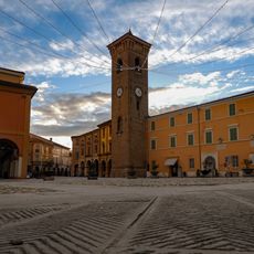
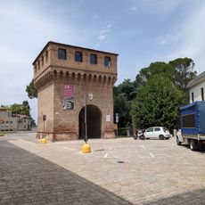
Cotignola is a small commune in the province of Ravenna, characterized by narrow streets and old brick buildings that reflect centuries of habitation. The town sits among farmland and open countryside, with its layout centered around historic churches, a notable tower, and modest civic buildings.
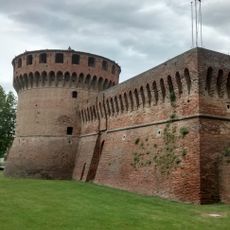
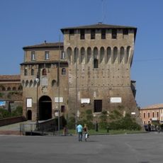
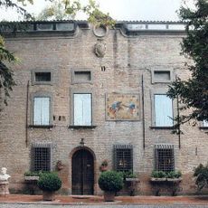
This town passed through many hands over the centuries, including rule by the Sforza family in the 1400s who left their mark on its buildings and layout. The 20th century brought upheaval and damage during war, but the community rebuilt itself and was honored for its resilience through these difficult times.
Cotignola carries stories in its streets and the way locals gather in small squares to share meals and conversation. These gathering spaces remain central to daily life, where old customs and new friendships naturally intersect.
The town is easily accessible by road near the A14 highway and has a railway station connecting to nearby cities. Airports in Forlì, Bologna, and Rimini are all within reasonable driving distance, making it convenient to reach from different parts of the region.
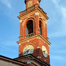
The tower called Torre d'Acuto or Il Campanone, built in 1376, originally had a square base that was later changed to a round shape. The bell still hanging inside was cast in 1616 and continues to ring out on important occasions today.
The community of curious travelers
AroundUs brings together thousands of curated places, local tips, and hidden gems, enriched daily by 60,000 contributors worldwide.