Roghudi, Italian comune
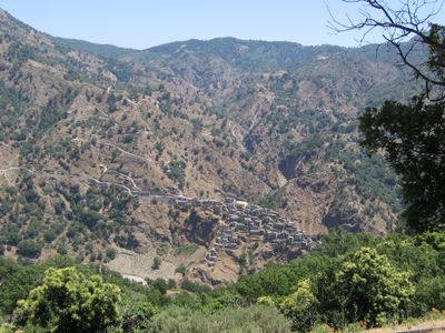
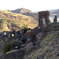
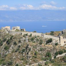
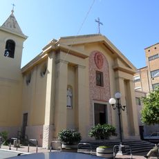
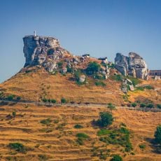
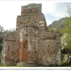
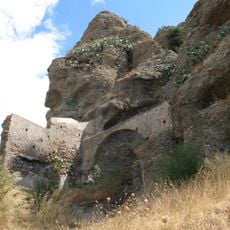
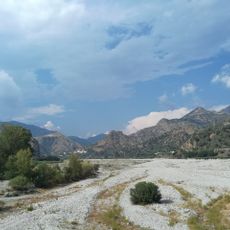
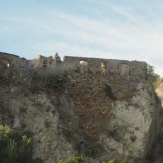
Roghudi is a commune in the Metropolitan City of Reggio Calabria, set on a rocky hillside in the foothills of the Aspromonte mountain range. The old settlement is made up of weathered stone houses built close together, with narrow streets running between them and the remains of a small church dedicated to Saint Nicholas.
The village was founded around 1050 by nomadic groups and grew into a settlement with strong Greek linguistic traditions. Severe flooding in the 1970s forced the population to abandon the old site and move to a newly built village lower in the valley.
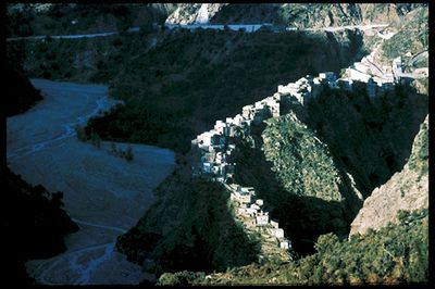
The people of Roghudi spoke Grekaniko, a dialect rooted in ancient Greek that has nearly disappeared today. Walking through the old village, you can still see the narrow lanes and tightly packed stone houses that shaped daily life for this community.
The abandoned old village can be explored on foot, but the ground is uneven and paths are narrow, so sturdy shoes are a good idea. Shops and facilities are only available in the newer village down in the valley, so it is worth preparing before heading up.
In the old village, mothers fastened their children to large nails and ropes fixed to house walls to keep them from falling into the deep ravines surrounding the settlement. This practice shows just how narrow and exposed the ground was where the houses were built.
The community of curious travelers
AroundUs brings together thousands of curated places, local tips, and hidden gems, enriched daily by 60,000 contributors worldwide.