Enable Location

We need your location to show you interesting places around you

Discover nearby places

Find interesting locations and hidden gems around you

Precise directions

Get accurate directions and distances to places

Your location is never shared with other users. It's only used when you tap the location button.

Blera

Log in to your account

Start exploring — it's free

Trusted by 62,134 travelers worldwide

Continue with Google
Continue with Apple
or

We will send you a code to connect

By continuing, you accept our Terms and Conditions and our Privacy Policy

Check your inbox

We've sent a pincode in your inbox. Please enter the code below.

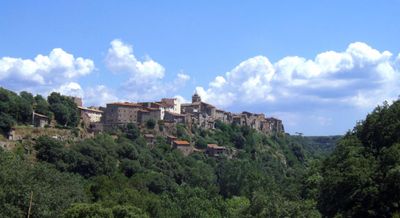
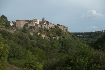
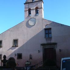
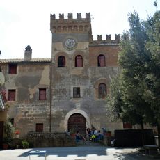
Blera, Medieval commune in Viterbo Province, Italy

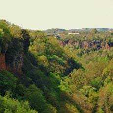
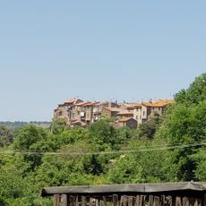
Blera sits on a narrow rock formation where two deep valleys meet, positioned at 270 meters above sea level. The commune shares borders with several neighboring towns including Barbarano Romano, Canale Monterano, Tolfa, Vejano, and Vetralla.

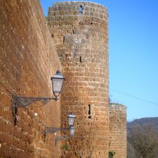
The Lombards under King Desiderius destroyed the settlement in 772, leading to centuries of control by different noble families. These shifting powers left their marks on the place's development.

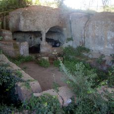
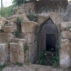
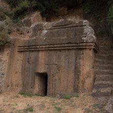
Throughout the area, rock-carved tombs display architectural features that mirror ancient residential buildings. These structures show how people once lived and honored their dead.

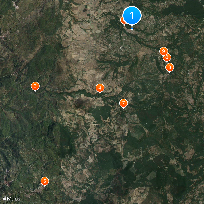
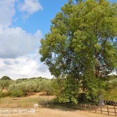
The location sits in a hilly region and is best explored on foot to fully appreciate the rock formations and valleys. Sturdy footwear is recommended since paths are uneven and sometimes steep.

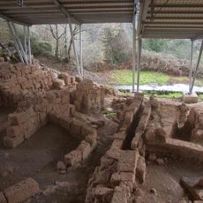
Excavations at Selvasecca revealed a Republican period rural structure featuring a vaulted cistern built with Roman concrete. These findings show the technical knowledge possessed by ancient inhabitants.

The community of curious travelers

AroundUs brings together thousands of curated places, local tips, and hidden gems, enriched daily by 60,000 contributors worldwide.

Start exploring
Capital city
Blera
Elevation above the sea
270 m
Shares border with
Barbarano Romano, Canale Monterano, Tolfa, Vejano, Vetralla, Villa San Giovanni in Tuscia, Monte Romano
GPS coordinates
42.27333,12.03250
Latest update
December 20, 2025 14:07
« Blera - Medieval commune in Viterbo Province, Italy » is provided by Around Us (aroundus.com). Images and texts are derived from Wikimedia project under a Creative Commons license. You are allowed to copy, distribute, and modify copies of this page, under the conditions set by the license, as long as this note is clearly visible.

Discover hidden gems everywhere you go!

From secret cafés to breathtaking viewpoints, skip the crowded tourist spots and find places that match your style. Our app makes it easy with voice search, smart filtering, route optimization, and insider tips from travelers worldwide. Download now for the complete mobile experience.

Around Us App Screenshot

A unique approach to discovering new places

Le Figaro

All the places worth exploring

France Info

A tailor-made excursion in just a few clicks

20 Minutes

Around Us
Travel Guide & Maps
Download

Send to your phone

QR Code
1

Open the camera app on your mobile.

2

Point at the QR code with your camera. A notification will appear.

3

Tap the notification to open the link.