
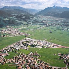
San Michele all'Adige, Italian comune
Location: Trentino
Location: Comunità Rotaliana-Königsberg
Elevation above the sea: 228 m
Shares border with: Giovo, Lavis, Mezzocorona, Mezzolombardo, Terre d'Adige
Website: http://comune.sanmichelealladige.tn.it
GPS coordinates: 46.19380,11.13460
Latest update: March 3, 2025 02:24
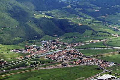
Piana Rotaliana
2.5 km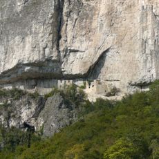
Castel San Gottardo
3.6 km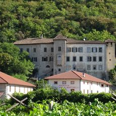
Castel Firmian
3.3 km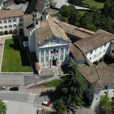
Museo degli usi e costumi della gente trentina
67 m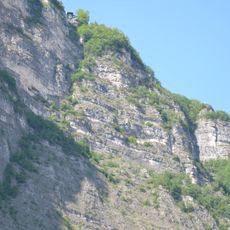
Funivia Mezzocorona-Monte
3 km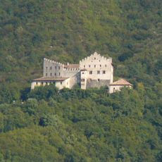
Castello di Monreale
1.8 km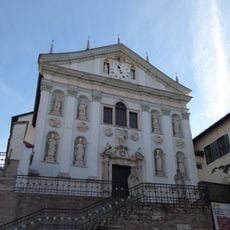
Saint Michael church
71 m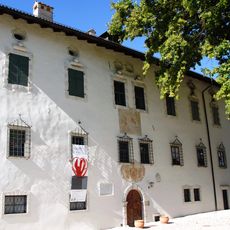
Palazzo Martini
2.8 km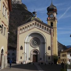
Santa Maria Assunta church
2.8 km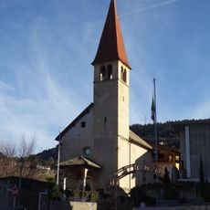
Saint Agatha church
2.1 km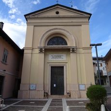
Immacolata church
383 m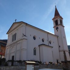
Redeemer church
2 km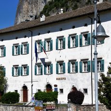
Palazzo Firmian
2.9 km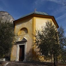
Saint Michael church
2.6 km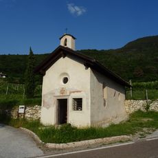
Saint Valentine chapel
1.7 km
Regina Pacis church
4 km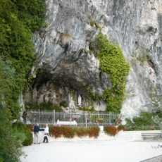
Lourdes grotto
3 km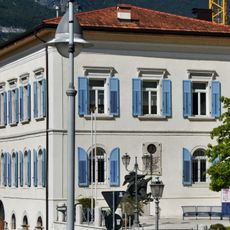
Palazzo della Vicinia
2.8 km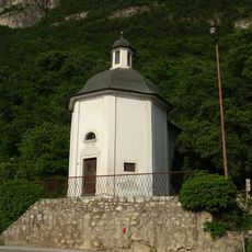
Saint Joseph church
3 km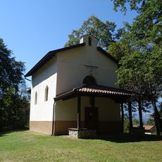
Saint Lawrence church
3.6 km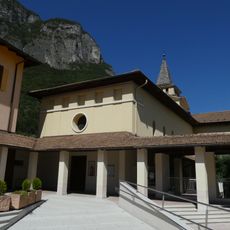
Immacolata church
2.7 km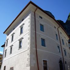
Casa Chiettini
2.8 km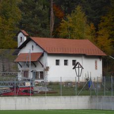
Our Lady of Help church
3.1 km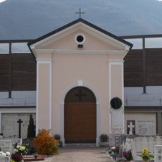
Crucifix chapel
629 m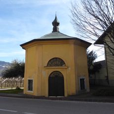
Saint John of Nepomuk chapel
3.3 km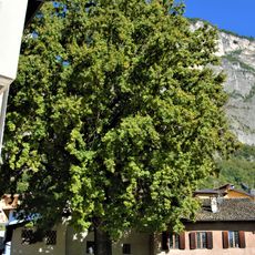
Farnia
2.8 km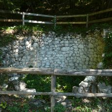
Calchera del Monte di Mezzocorona
4.2 km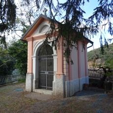
Wayside shrine near Maso Zatelli
2 kmReviews
Visited this place? Tap the stars to rate it and share your experience / photos with the community! Try now! You can cancel it anytime.
Discover hidden gems everywhere you go!
From secret cafés to breathtaking viewpoints, skip the crowded tourist spots and find places that match your style. Our app makes it easy with voice search, smart filtering, route optimization, and insider tips from travelers worldwide. Download now for the complete mobile experience.

A unique approach to discovering new places❞
— Le Figaro
All the places worth exploring❞
— France Info
A tailor-made excursion in just a few clicks❞
— 20 Minutes