
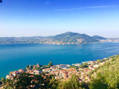
Predore, Italian comune
Location: Province of Bergamo
Capital city: Predore
Elevation above the sea: 190 m
Shares border with: Viadanica, Vigolo, Iseo, Tavernola Bergamasca, Sarnico
Website: http://comune.predore.bg.it
GPS coordinates: 45.68333,10.01667
Latest update: March 14, 2025 16:31
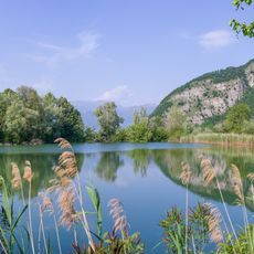
Riserva naturale Torbiere del Sebino
3.9 km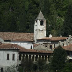
Monastero di San Pietro in Lamosa
5.2 km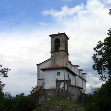
Madonna della Ceriola
6.1 km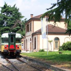
Palazzolo–Paratico railway
5.2 km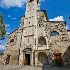
Sant'Andrea Apostolo
3.7 km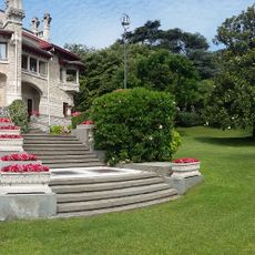
Villa Giuseppe Faccanoni
4 km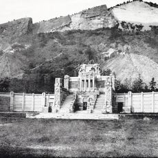
Mausoleo Faccanoni
4.9 km
San Michele Arcangelo Church
5.9 km
Chiesa di san Silvestro
3.6 km
Church of San Pietro
3.5 km
San Martino Church
5 km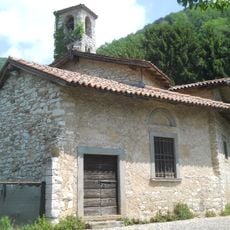
Complesso di Sant'Alessandro in Canzanica
5.1 km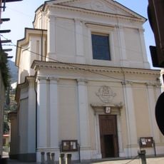
Chiesa di Santa Maria Maddalena
3.7 km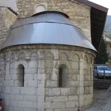
Chiesa di San Michele
3.9 km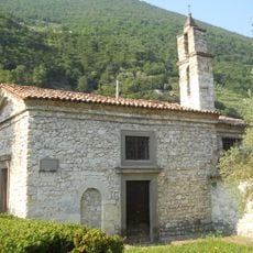
San Giorgio
1.2 km
Corno di Predore
1.6 km
San Paolo
5 km
Chiesa di San Giovanni Battista
3.8 km
Santa Maria Assunta
3.7 km
Chiesa san Rocco
2.9 km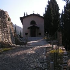
Chiesa di San Rocco
5.9 km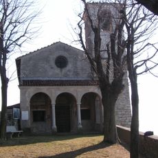
Chiesa della Madonna del Corno
5.3 km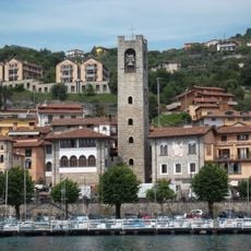
Torre Fenaroli
3.7 km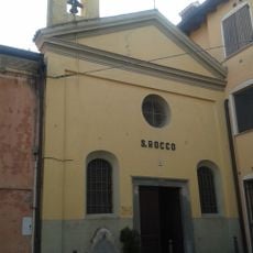
San Rocco Church
2.5 km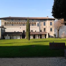
Carmagnola Castle
4.5 km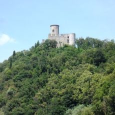
Castello Oldofredi
4.7 km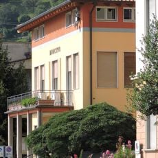
Town hall of Tavernola Bergamasca
3.8 km
Town hall of Predore
370 mReviews
Visited this place? Tap the stars to rate it and share your experience / photos with the community! Try now! You can cancel it anytime.
Discover hidden gems everywhere you go!
From secret cafés to breathtaking viewpoints, skip the crowded tourist spots and find places that match your style. Our app makes it easy with voice search, smart filtering, route optimization, and insider tips from travelers worldwide. Download now for the complete mobile experience.

A unique approach to discovering new places❞
— Le Figaro
All the places worth exploring❞
— France Info
A tailor-made excursion in just a few clicks❞
— 20 Minutes