Manziana, Italian comune
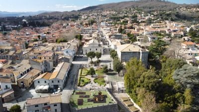
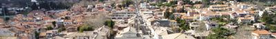
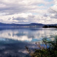
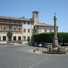
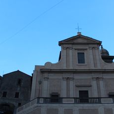
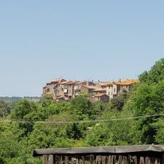
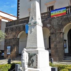
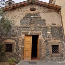
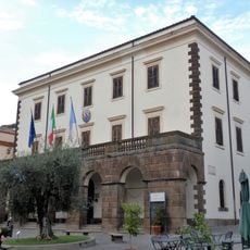
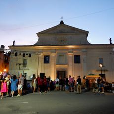
Manziana is a small commune in the Lazio region of Italy, situated on gentle slopes near the Sabatino volcano and close to the waters of Lake Bracciano. The town is made up of clustered houses that rise naturally from the landscape, with quiet streets that are easy to walk through and where visitors immediately feel a sense of calm and order.
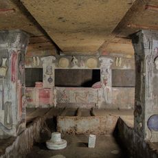
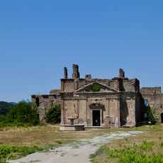
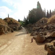
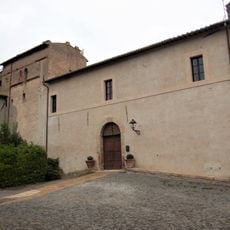
The area held significance in ancient times when the Etruscans considered it sacred, before a fortified village called Castrum Sanctae Pupae emerged in the Middle Ages, contested among powerful families like the Orsini and Anguillara. After a period of decline, the settlement was renewed and took its present name, referring to the vast woodland that came to define it.
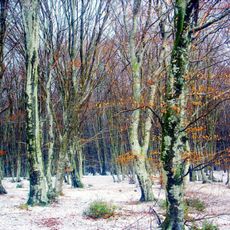
The name Manziana comes from a Latin word meaning 'big forest', referring to the Silva Mantiana woodland that has shaped the area for centuries. Residents maintain local traditions like the June Sagra della Cornuta festival and the autumn Sagra della Castagna, when neighbors gather to share traditional foods and celebrate their connection to the land.
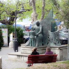
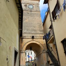
Parking is available in designated areas outside the main streets, and exploring the town is best done on foot, with friendly residents happy to share tips about the best cafes and places to linger. Public transportation links the commune to nearby cities, making a visit practical as a day trip from Rome.
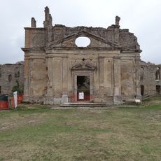
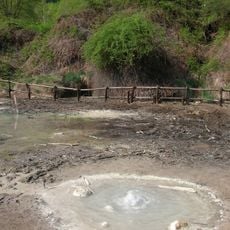
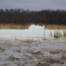
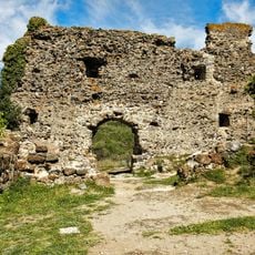
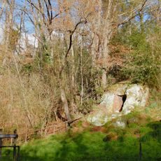
The Caldara di Manziana, a natural monument about 5 kilometers south of town, holds wetlands, thick woods, and small lakes that are a favored spot for nature lovers. This area is rich in archaeological sites, including ancient tombs and ruins, that visitors can discover while walking and that tell of civilizations that lived here long before the modern town.
The community of curious travelers
AroundUs brings together thousands of curated places, local tips, and hidden gems, enriched daily by 60,000 contributors worldwide.