Ueda Basin, Geographical basin in Nagano Prefecture, Japan.
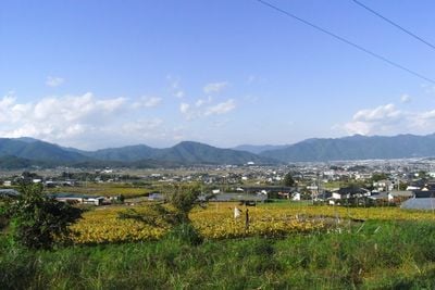
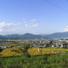
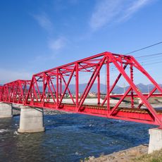
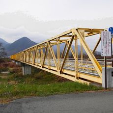
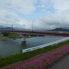
The Ueda Basin is a geographical depression in Nagano Prefecture surrounded by mountain ranges on all sides. Multiple river systems flow through the region, creating a natural drainage network that shapes the landscape.
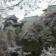
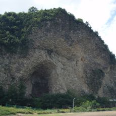
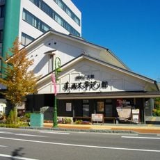
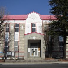
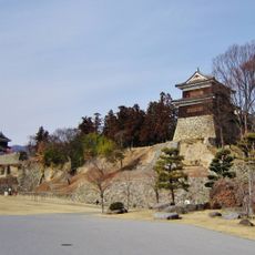
The basin formed through geological processes that shaped its current landscape over deep time. During the Edo period, it became an important center for trade and settlement development in the region.
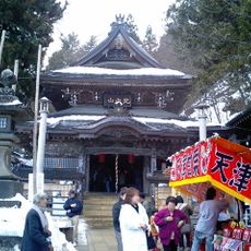
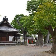
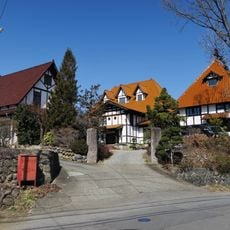
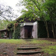
The region has long been tied to rice farming and local craft traditions that remain active in surrounding villages. Visitors see traces of this connection to agriculture throughout the area in well-maintained fields and structures that shape daily life.
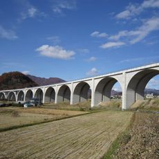
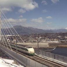
The area is easily reached via the Nagano Shinkansen line, which offers regular connections to nearby cities and larger centers. The town of Ueda serves as the best base for exploring the basin, with local buses connecting to different parts of the area.
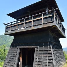
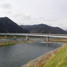
The terraces along the Shinano River formed through natural erosion and sediment buildup, creating multiple levels of land for settlements and fields. This stacked arrangement is especially noticeable when viewing the region from elevated vantage points.
The community of curious travelers
AroundUs brings together thousands of curated places, local tips, and hidden gems, enriched daily by 60,000 contributors worldwide.