
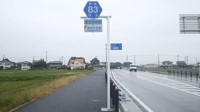
Saitama Prefectural Road and Gunma Prefectural Road Route 83, road in Gunma and Saitama Prefecture, Japan
Location: Kumagaya
Location: Gyoda
Location: Chiyoda
Location: Tatebayashi
GPS coordinates: 36.14269,139.39053
Latest update: March 25, 2025 03:34
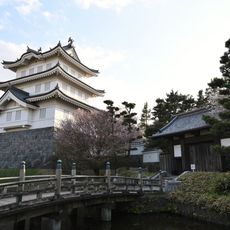
Oshi Castle
5.7 km
Kumagaya Rugby Stadium
3 km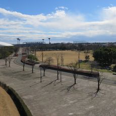
Kumagaya Sports & Culture Park
3 km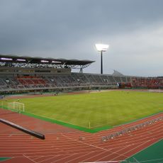
Kumagaya Athletic Stadium
3 km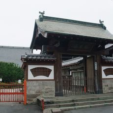
Yūkoku-ji
805 m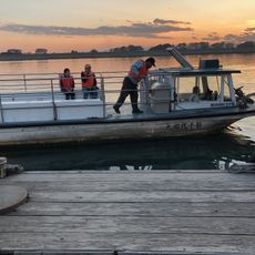
Akaiwa Ferry
7.9 km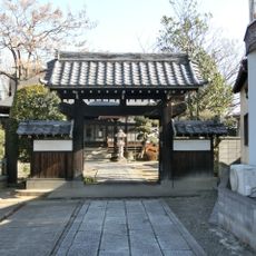
Kogenji
6.5 km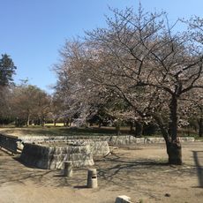
Kumagaya Sakura Sports Park
4.3 km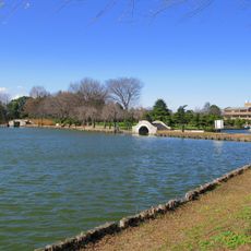
Suijō Park
6.2 km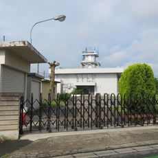
Kumagaya Local Meteorological Observatory
1.2 km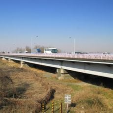
荒川大橋
1.4 km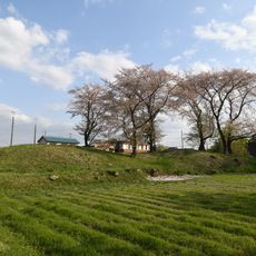
Atagoyama Kofun
8 km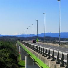
Kuge Bridge
3.1 km
熊谷文化創造館 Sakuramate
6.2 km
Oshikiri Bridge
6.1 km
大芦橋
7.6 km
Gensō-ji
1.6 km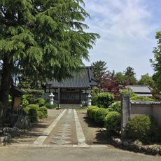
Ryūen-ji
2.6 km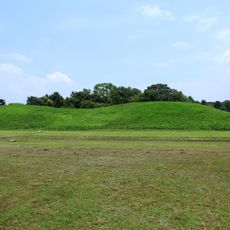
Kawarazuka Kofun
8 km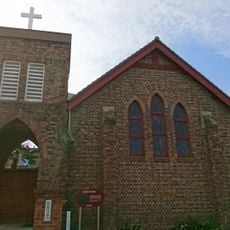
St Paul's Church, Kumagaya
751 m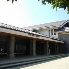
Gyōda City Museum
5.7 km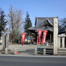
Kamioka kannon
5.3 km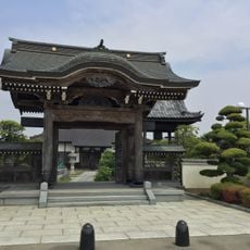
一乗院
1.7 km
Ōya Tile Kiln Site
8 km
Saitama Prefectural Museum of the Sakitama Ancient Burial Mounds
7.9 km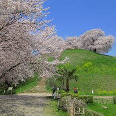
Maruhakayama Kofun
8 km
シネティアラ21
379 m
二十二夜塔(釈迦寺)
6 kmReviews
Visited this place? Tap the stars to rate it and share your experience / photos with the community! Try now! You can cancel it anytime.
Discover hidden gems everywhere you go!
From secret cafés to breathtaking viewpoints, skip the crowded tourist spots and find places that match your style. Our app makes it easy with voice search, smart filtering, route optimization, and insider tips from travelers worldwide. Download now for the complete mobile experience.

A unique approach to discovering new places❞
— Le Figaro
All the places worth exploring❞
— France Info
A tailor-made excursion in just a few clicks❞
— 20 Minutes