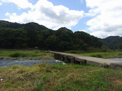
大河原橋, Submersible bridge in Minami Yamashiro, Japan
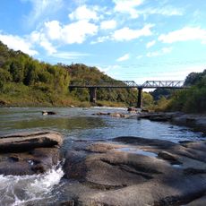
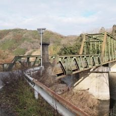
The Okawara Bridge is a structure in Minami Yamashiro designed to submerge beneath the Kizu River during high water periods. This special construction allows it to remain intact when flood conditions occur instead of being damaged or washed away.
Construction took place between January 1944 and 1945, replacing a ferry service that had previously connected the two riverbanks. A larger crossing was built upstream in a later period, but the original structure continued to be used by local traffic.
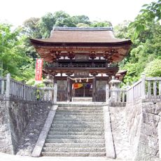
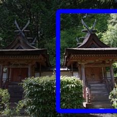
The bridge connects the communities on both sides of Okawara and serves as part of the daily route for local residents. Its location near Koishidani Shrine adds a spiritual dimension to this practical crossing in the landscape.
The crossing is accessible on foot and provides a direct route across the river, though it becomes impassable during high water periods. Check conditions before visiting to ensure you can safely cross without encountering flood waters.
The structure was originally built using stones from nearby quarries, with each stone carefully shaped for its place. This handcrafted construction method makes it a testament to traditional Japanese building techniques from the mid-twentieth century.
The community of curious travelers
AroundUs brings together thousands of curated places, local tips, and hidden gems, enriched daily by 60,000 contributors worldwide.