Enable Location

We need your location to show you interesting places around you

Discover nearby places

Find interesting locations and hidden gems around you

Precise directions

Get accurate directions and distances to places

Your location is never shared with other users. It's only used when you tap the location button.

Nihonzutsumi

Log in to your account

Start exploring — it's free

Trusted by 62,561 travelers worldwide

Continue with Google
Continue with Apple
or

We will send you a code to connect

By continuing, you accept our Terms and Conditions and our Privacy Policy

Check your inbox

We've sent a pincode in your inbox. Please enter the code below.

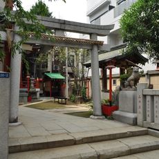
Nihonzutsumi, Administrative district in Taitō-ku, Japan

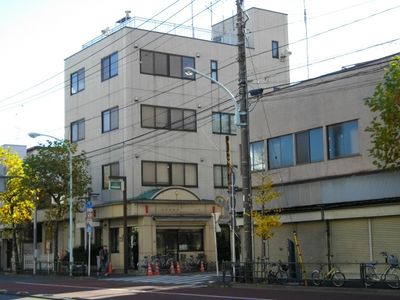
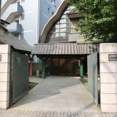
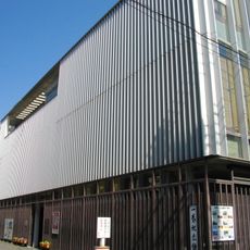
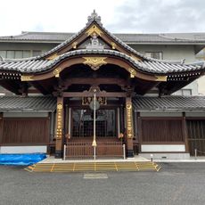
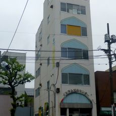
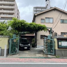
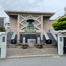
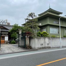
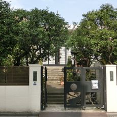
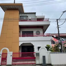
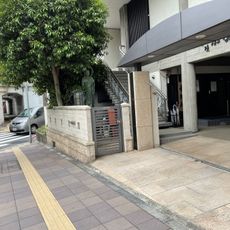
Nihonzutsumi spreads along the western bank of the Sumida River, mixing residential buildings with shops in Tokyo's urban setting. The area blends older architecture with modern facilities that reflect the city's everyday life.

The area emerged during the Edo period as a protective embankment system, with its name referring to its function as a riverside levee. This fortification was essential for allowing settlement to develop in this part of Tokyo.

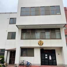
The neighborhood preserves traditional ryokan inns where guests experience Japanese hospitality through tatami rooms and shared bathhouses. These establishments show how people lived and relaxed together in earlier times.

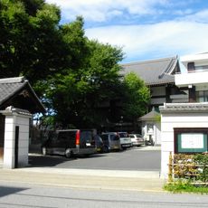
The area has several stations providing access to major districts like Asakusa and Ueno nearby. Visitors can walk through the neighborhood easily and reach central Tokyo from multiple points throughout the area.

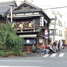
Local restaurants serve Showa-era breakfast sets with dried mackerel, rice, and miso soup prepared using traditional recipes. These humble meals reflect the flavors that people in the neighborhood have valued for generations.

The community of curious travelers

AroundUs brings together thousands of curated places, local tips, and hidden gems, enriched daily by 60,000 contributors worldwide.

Start exploring
Location
GPS coordinates
35.72706,139.79808
Latest update
December 22, 2025 14:01
« Nihonzutsumi - Administrative district in Taitō-ku, Japan » is provided by Around Us (aroundus.com). Images and texts are derived from Wikimedia project under a Creative Commons license. You are allowed to copy, distribute, and modify copies of this page, under the conditions set by the license, as long as this note is clearly visible.

Discover hidden gems everywhere you go!

From secret cafés to breathtaking viewpoints, skip the crowded tourist spots and find places that match your style. Our app makes it easy with voice search, smart filtering, route optimization, and insider tips from travelers worldwide. Download now for the complete mobile experience.

Around Us App Screenshot

A unique approach to discovering new places

Le Figaro

All the places worth exploring

France Info

A tailor-made excursion in just a few clicks

20 Minutes

Around Us
Travel Guide & Maps
Download

Send to your phone

QR Code
1

Open the camera app on your mobile.

2

Point at the QR code with your camera. A notification will appear.

3

Tap the notification to open the link.