Enable Location

We need your location to show you interesting places around you

Discover nearby places

Find interesting locations and hidden gems around you

Precise directions

Get accurate directions and distances to places

Your location is never shared with other users. It's only used when you tap the location button.

Taitō-ku

Log in to your account

Start exploring — it's free

Trusted by 61,340 travelers worldwide

Continue with Google
Continue with Apple
or

We will send you a code to connect

By continuing, you accept our Terms and Conditions and our Privacy Policy

Check your inbox

We've sent a pincode in your inbox. Please enter the code below.

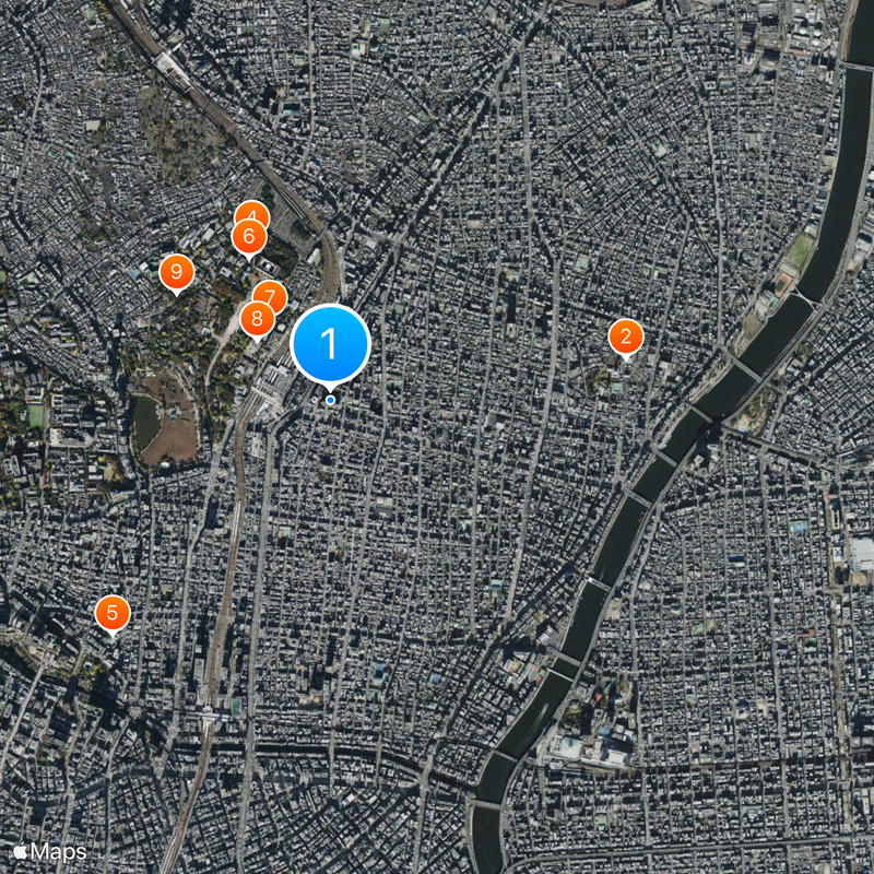
Taitō-ku, Special ward in Tokyo, Japan

Description

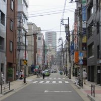
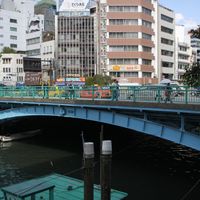
Taitō is a special ward in northeastern Tokyo, Japan, stretching south from the Sumida River and covering both densely built residential areas and large park grounds. The ward consists of several neighborhoods linked by a network of rail lines, subway routes, and wide thoroughfares.

History

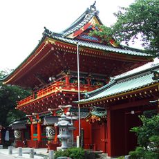
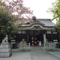
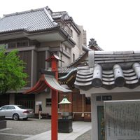
The administrative unit formed in 1947 through the joining of two older wards when the Tokyo city government reorganized after the war. In earlier centuries, the area was known for markets, shrines, and as an entry point for travelers from northern provinces.

Culture

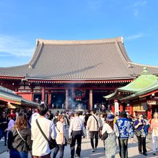
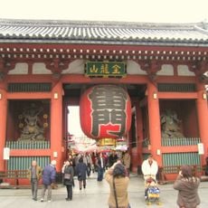
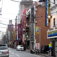
The ward takes its name from a large drum tower that once stood nearby and echoed across the flat eastern districts. Visitors today find many traditional shops, especially along old streets, where craftspeople still produce paper goods, dolls, and other items in family businesses.

Practical

The ward is easily explored using the several rail and subway stations that connect all major neighborhoods and larger transport hubs. Most areas offer flat footpaths and many shops along station exits, making orientation straightforward for visitors.

Did you know?

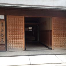
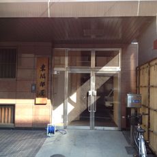
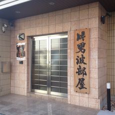
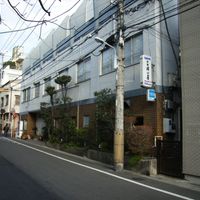
A small, quiet section near the main streets preserves the layout of old working neighborhoods, where narrow lanes run between low wooden houses and few visitors wander. Some structures from the early Meiji period still stand along these paths and show old building methods.

Location
Inception
March 15, 1947
Reference
131067
Part of
ward area of Tokyo
Shares border with
Chiyoda-ku, Chūō-ku, Bunkyo, Sumida-ku, Arakawa-ku
GPS coordinates
35.71261,139.77997
Latest update
December 14, 2025 21:14

AroundUs brings together thousands of curated places, local tips, and hidden gems, enriched daily by 60,000 contributors worldwide. Discover all places nearby (Tokyo).

« Taitō-ku - Special ward in Tokyo, Japan » is provided by Around Us (aroundus.com). Images and texts are derived from Wikimedia project under a Creative Commons license. You are allowed to copy, distribute, and modify copies of this page, under the conditions set by the license, as long as this note is clearly visible.

Discover hidden gems everywhere you go!

From secret cafés to breathtaking viewpoints, skip the crowded tourist spots and find places that match your style. Our app makes it easy with voice search, smart filtering, route optimization, and insider tips from travelers worldwide. Download now for the complete mobile experience.

Around Us App Screenshot

A unique approach to discovering new places

Le Figaro

All the places worth exploring

France Info

A tailor-made excursion in just a few clicks

20 Minutes

Around Us
Travel Guide & Maps
Download

Send to your phone

QR Code
1

Open the camera app on your mobile.

2

Point at the QR code with your camera. A notification will appear.

3

Tap the notification to open the link.