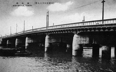
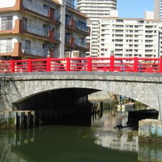
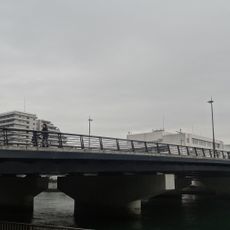
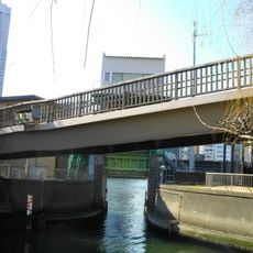
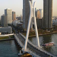
Aioi Bridge, Steel bridge in Koto, Japan
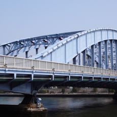
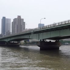
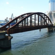
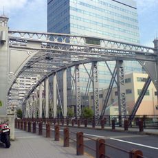
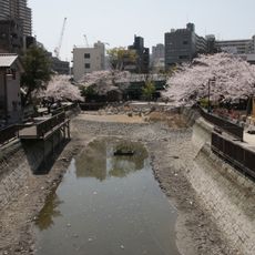
Aioi Bridge spans the Sumida River and links different districts within Koto through its steel framework and concrete deck. The structure carries both cars and pedestrians across the waterway, serving as a major transportation link in the eastern part of Tokyo.
The bridge was built during Tokyo's modern development to support the expansion of the eastern districts. It reflects the infrastructure growth that followed the transition from the Edo period.
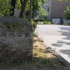
The structure stands as part of local heritage, with residents gathering near its approaches during seasonal celebrations and community events.
The bridge is open year-round for pedestrians and vehicles without restrictions. Crossing is straightforward, and views of the riverbank are clear from both approaches.
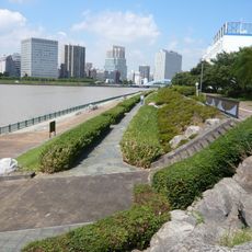
The structure offers photographers multiple vantage points for capturing the Sumida River and surrounding buildings from different angles. These views are frequently featured in works by local photographers who value the perspective opportunities.
The community of curious travelers
AroundUs brings together thousands of curated places, local tips, and hidden gems, enriched daily by 60,000 contributors worldwide.