Mount Tatsuware, Mountain summit in Ibaraki Prefecture, Japan.
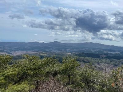
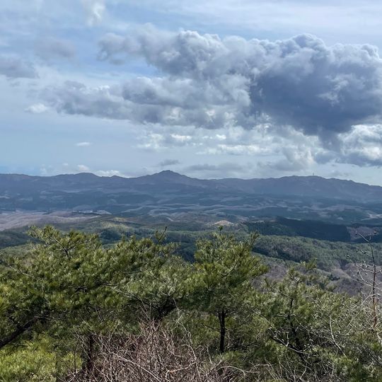
Mount Tatsuware is a 658.3 m summit on the boundary of Takahagi and Hitachi in Ibaraki Prefecture, within the Hanazono-Hananuki Prefectural Nature Park. Its southern half is a large collapse cliff, and the summit is a 30 m residual hill of Cretaceous biotite granite. A black-fronted shrine and an observation platform stand at the top.
The mountain was long called Tsunokare-yama; according to the Hitachi-no-kuni Fudoki, it was renamed Kurozaki-yama after Kurozaka no Mikoto died here around 80 BCE while campaigning against the Emishi. In the Edo period, Tokugawa Mitsukuni named a rock Tachiwari-ishi after a tale of Minamoto no Yoshiie, and the mountain took the name Tatsuware-san. In 1080 Yoshiie prayed for victory at Kurozaki Shrine before his Ōshū campaign.
The mountain's name changed from Tsunokare-yama to Kurozaki-yama after Kurozaka no Mikoto died here around 80 BCE, as recorded in the Hitachi-no-kuni Fudoki. In the Edo period, Tokugawa Mitsukuni named the split boulder Tachiwari-ishi after a story of Minamoto no Yoshiie, and the mountain took the name Tatsuware-san from it.
Several marked trails lead to the summit, with some sections passing over rocky ground, so sturdy footwear is a good idea. It is worth checking the weather before setting out, as the upper parts of the mountain can get slippery after rain.
The summit's south face is an old collapse scarp, and debris flows have filled the valley the trail follows. The boulders along the path arrived differently: Fudo-iwa was carried by a debris flow, while Eboshi-iwa and Teate-iwa fell and shattered from the scarp. Tatsuware-iwa, Kogane-iwa and Kagura-iwa are weathered granite corestones on the gentle upland surface.
The community of curious travelers
AroundUs brings together thousands of curated places, local tips, and hidden gems, enriched daily by 93,629 contributors worldwide.