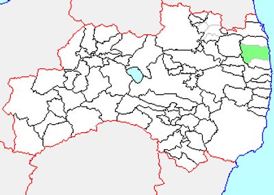
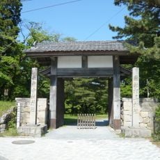
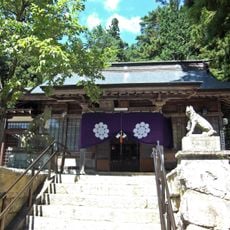
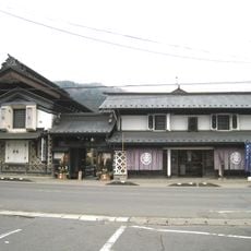
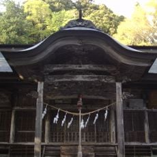
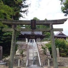
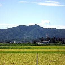
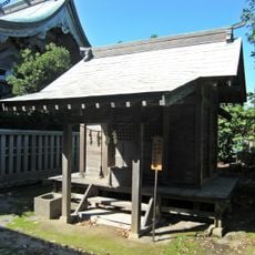
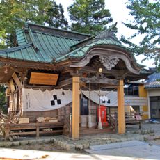
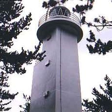
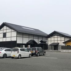
Haramachi-ku, one of the 3 wards of the city of Minamisoma
Location: Minamisoma
Inception: January 1, 2006
GPS coordinates: 37.64222,140.95737
Latest update: March 26, 2025 22:22
Ryōzen Shrine
32.5 km
Odemori Castle
33.4 km
原子力明るい未来のエネルギー
21.5 km
Great East Japan Earthquake and Nuclear Disaster Memorial Museum
21.5 km
Sōma-Nakamura Castle
17.8 km
Fukushima Daiichi units 4, 5 and 6
24.8 km
Odaka Castle
8.7 km
Haramachi Radio Tower
2.4 km
Iino UFO Museum
37.6 km
Yamatsumi-jinja, Iitate
25.2 km
Kura no Kyōdokan Sairi Yashiki
34.7 km
隠津島神社
33.6 km
Sōmaōta-jinja
3.6 km
Matsukawaura Bridge
20.5 km
Mt Karou
25.8 km
Ōtakadoya
31.6 km
Hiyama
26.5 km
Sakurai Kofun
3 km
Kusano-jinja
19.4 km
Kashima miko jinja
6.8 km
南相馬市民文化会館
124 m
Namie Sosei Elementary School and Junior High School
17.3 km
Unoosaki Lighthouse
20.3 km
TEPCO Decommissioning Archive Center
34 km
川俣町中央公民館
31.8 km
Tsunami and Earthquake Victims Memorial Hall of Sōma City
20.9 km
Sōma City Museum of Historical Materials
17.5 km
Historical Archive Museum of Tomioka
33 kmReviews
Visited this place? Tap the stars to rate it and share your experience / photos with the community! Try now! You can cancel it anytime.
Discover hidden gems everywhere you go!
From secret cafés to breathtaking viewpoints, skip the crowded tourist spots and find places that match your style. Our app makes it easy with voice search, smart filtering, route optimization, and insider tips from travelers worldwide. Download now for the complete mobile experience.
A unique approach to discovering new places❞
— Le Figaro
All the places worth exploring❞
— France Info
A tailor-made excursion in just a few clicks❞
— 20 Minutes