Ayugaerino Taki, Wasserfall in Japan
Location: Kumamoto Prefecture
GPS coordinates: 32.86904,130.99184
Latest update: March 7, 2025 10:51

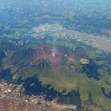
Mount Aso
8.9 km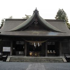
Aso Shrine
14.5 km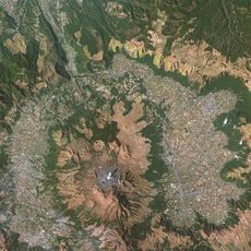
Aso Caldera
8.8 km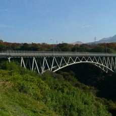
Aso Bridge
1.6 km
Aso Cuddly Dominion
9.8 km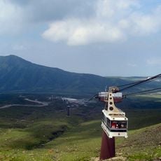
Mount Aso Ropeway
8.3 km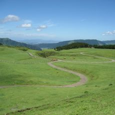
Kusa-Senrigahama
5.8 km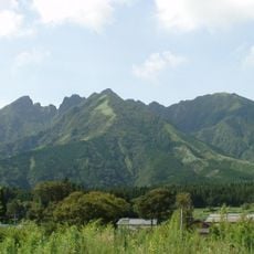
Mount Neko
14.4 km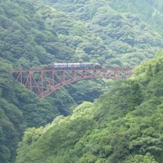
Daiichi-Shirakawa bridge
1.1 km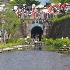
Takamori Spring Tunnel Park
13.7 km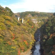
阿蘇長陽大橋
958 m
Tawarayama Tunnel
1.7 km
Kumamoto Prefectural College of Technology
14.9 km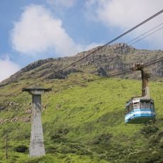
Sensuikyō
11.1 km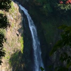
Sgaru Falls
2.1 km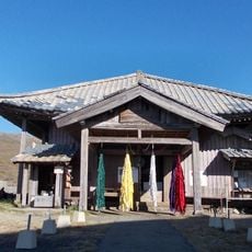
Saigandenji
10.7 km
熊本空港カントリークラブ
14.7 km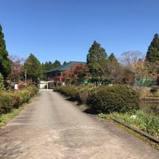
Aso Saru Mawashi Gekijō
3.7 km
Château d'Uchimakijo
12.7 km
中通古墳群
15.3 km
長目塚古墳
15.3 km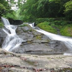
Yonjūsanman-Wasserfall
15.9 km
Château d'Akai
18.6 km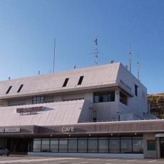
Aso Volcano Museum
5.9 km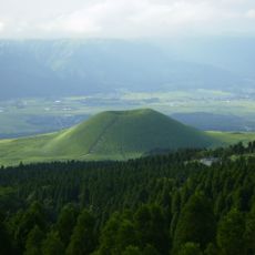
Komezuka
6.3 km
俵山
4 km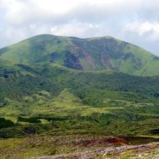
Mount Kishima
6.8 km
Isshingyō-no-Ōzakura
6.6 kmReviews
Visited this place? Tap the stars to rate it and share your experience / photos with the community! Try now! You can cancel it anytime.
Discover hidden gems everywhere you go!
From secret cafés to breathtaking viewpoints, skip the crowded tourist spots and find places that match your style. Our app makes it easy with voice search, smart filtering, route optimization, and insider tips from travelers worldwide. Download now for the complete mobile experience.

A unique approach to discovering new places❞
— Le Figaro
All the places worth exploring❞
— France Info
A tailor-made excursion in just a few clicks❞
— 20 Minutes