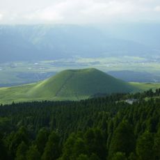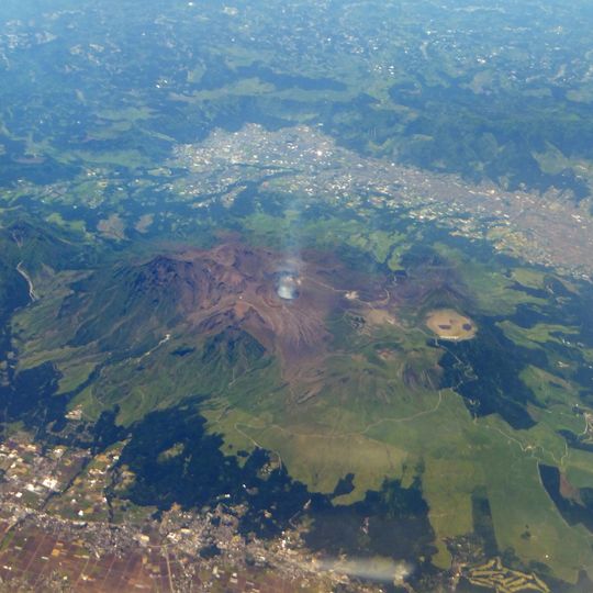
Aso Caldera, Volcanic caldera in Kumamoto Prefecture, Japan
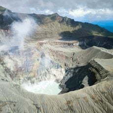
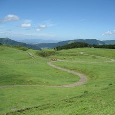
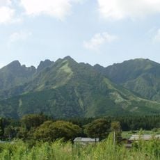
Aso Caldera is a 25 km north–south by 18 km east–west basin in Kumamoto Prefecture whose rim rises to 1,236 m in the southwest. Its centre holds the Aso Gogaku five peaks: Takadake (1,592 m), Nekodake (1,433 m), Nakadake (1,506 m), Kijimadake (1,321 m) and Eboshidake (1,337 m). The caldera floor is split into the northern Asodani and southern Nangodani valleys, and Nakadake's seven craters run roughly north–south.
Four pyroclastic flow eruptions between 270,000 and 90,000 years ago formed the caldera. The largest, Aso-4 about 90,000 years ago, released 384 km3 dense-rock equivalent and sent pyroclastic flows 160 km to what is now Yamaguchi Prefecture. In 1985 scientists established that its ash covered much of the Japanese islands.
The caldera's name is used for the whole basin, while the active vents are called Nakadake, whose northernmost crater has erupted repeatedly since the sixth century. The Kikuchi, Shirakawa and Kurokawa rivers drain the caldera floor, and the former lake beds beneath the Aso and Nango valleys are still recalled in the names Old Aso Lake, Kugino Lake and Aso Valley Lake.
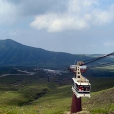
The caldera is drained by the Kikuchi, Shirakawa and Kurokawa rivers. The active Nakadake has seven craters aligned north to south, and its northernmost first crater hosts hydrothermal reservoirs at about 1 to 2.5 km depth. Access to the rim and cones is by road and trail; check volcanic alerts before approaching Nakadake.
The caldera's central cones are younger than the basin itself: the visible Aso Gogaku group formed from about 80,000 years ago onward, while the earlier cones lie buried under later deposits. The caldera floor also holds lake sediments from at least three former lakes, called Old Aso Lake, Kugino Lake and Aso Valley Lake.
The community of curious travelers
AroundUs brings together thousands of curated places, local tips, and hidden gems, enriched daily by 93,849 contributors worldwide.