
Fukura Taki, Wasserfall in Japan
Location: Kumamoto Prefecture
GPS coordinates: 32.71749,130.89487
Latest update: April 5, 2025 13:34

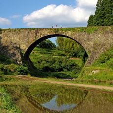
Tsūjun Bridge
10.1 km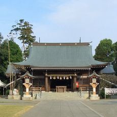
Kengun Shrine
15.1 km
Kumamoto City Zoological and Botanical Gardens
15.2 km
弓削神社
17.7 km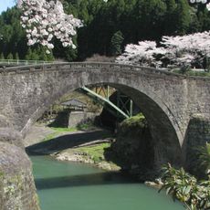
Reidai Bridge
9.8 km
Kumamoto Prefectural Theater
18.2 km
Shakain
17.7 km
Janes' Mansion
17 km
Grandmesse Kumamoto
12.9 km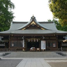
Izumi Shrine
17.2 km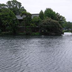
浮島神社 (嘉島町)
11.7 km
Mifune Dinosaur Museum
8.8 km
Kōsa-jinja
10 km
秋津有楽園
12.7 km
Kumamoto City Library
18.3 km
Tawarayama Tunnel
17.7 km
熊本県庁舎
16.5 km
Suizenji Ezuko Park
14.1 km
Kumamoto Prefectural Library
16.8 km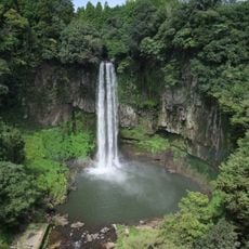
Gorō Falls
10.2 km
長寿寺 (熊本市)
17.7 km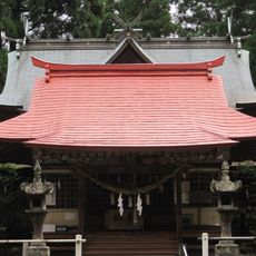
男成神社
12.9 km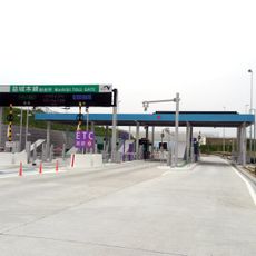
Mashiki toll gate
9.9 km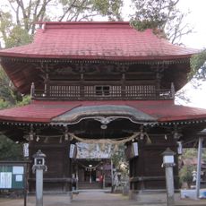
宮地神社 (七所宮)
15.2 km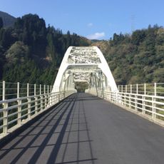
内大臣橋
11.5 km
横井小楠紀念館
12.6 km
Kumamoto International Folk Craft Museum
18 km
Kumamoto Civil Astronomical Observatory
15.1 kmReviews
Visited this place? Tap the stars to rate it and share your experience / photos with the community! Try now! You can cancel it anytime.
Discover hidden gems everywhere you go!
From secret cafés to breathtaking viewpoints, skip the crowded tourist spots and find places that match your style. Our app makes it easy with voice search, smart filtering, route optimization, and insider tips from travelers worldwide. Download now for the complete mobile experience.

A unique approach to discovering new places❞
— Le Figaro
All the places worth exploring❞
— France Info
A tailor-made excursion in just a few clicks❞
— 20 Minutes