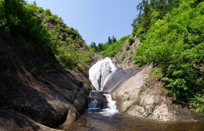
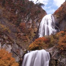
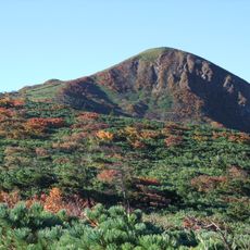
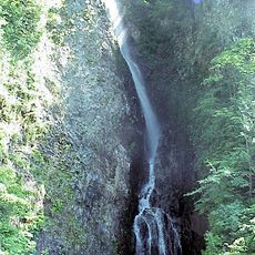
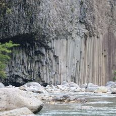
Todo Falls, Waterfall in Kitaakita, Japan.
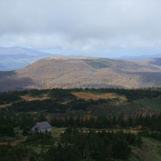
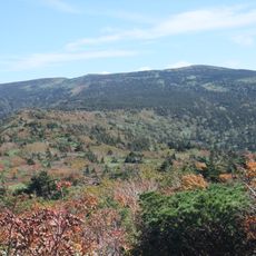
Todo Falls is a two-tiered waterfall in the mountains of Kitaakita, with an upper cascade of about 60 meters and a lower section of about 30 meters in height. The water drops through forested mountain terrain and creates a striking visual effect.
The site was included by the Ministry of Environment in 1990 as part of a compilation of 100 important waterfalls across Japan. This recognition established it as a valued natural site throughout the country.
The waterfall holds spiritual meaning in Japanese Shinto beliefs, as such places are thought to be inhabited by nature spirits called kami. This connection to the sacred is something visitors can feel while experiencing the site.
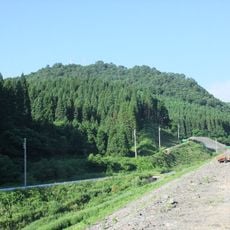
The site is most easily reached by car, followed by a hike of about 45 minutes through forest paths to reach the waterfall. There are few facilities on location, so bringing water and snacks is advisable.
Natural rainbows form in the water spray at the base of the falls when sunlight hits at specific angles. This optical effect is most visible on sunny days and can vary throughout the year depending on the sun's position.
The community of curious travelers
AroundUs brings together thousands of curated places, local tips, and hidden gems, enriched daily by 60,000 contributors worldwide.