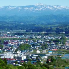
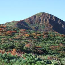
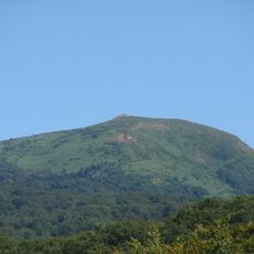
Hachimantai, Stratovolcano and plateau in Towada-Hachimantai National Park, Japan.
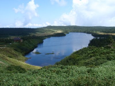
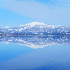
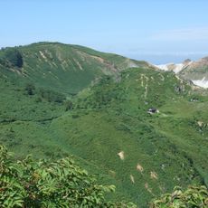
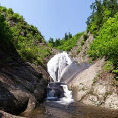
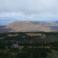
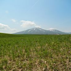
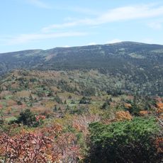
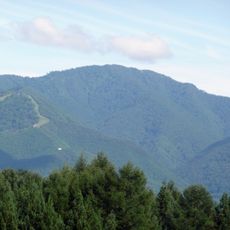
Hachimantai is a stratovolcano with a flat summit that rises to 1,613 meters and sits in a national park setting. The terrain is defined by numerous ponds, marshlands, and evergreen forests spread across its volcanic landscape.
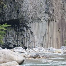
The region became known for its valuable mineral resources, particularly after sulfur deposits were discovered in the 1880s nearby. Mining operations shaped the area for nearly a century and left lasting marks on the local landscape and economy.
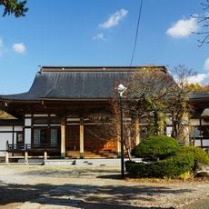
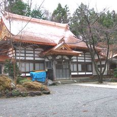
The mountain received its name when General Sakanoue no Tamuramaro declared this location as the residence of the kami Hachiman during a military campaign. This spiritual connection has shaped how local people relate to the place over the centuries.
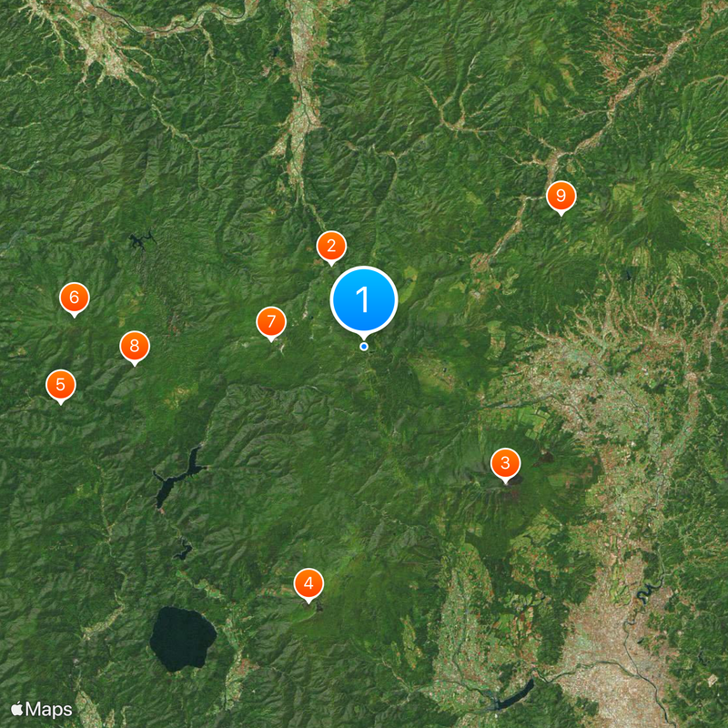
Several walking trails lead from the parking area to the summit, with journey times ranging from 40 minutes to two hours depending on the route chosen. Seasonal changes and weather conditions can make certain paths more or less accessible throughout the year.
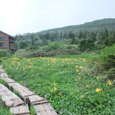
The Hachiman-numa Pond is a significant wetland surrounded by rare alpine plant species that often escapes visitors' attention. This nature reserve displays some of the most unusual vegetation found in the region.
The community of curious travelers
AroundUs brings together thousands of curated places, local tips, and hidden gems, enriched daily by 60,000 contributors worldwide.