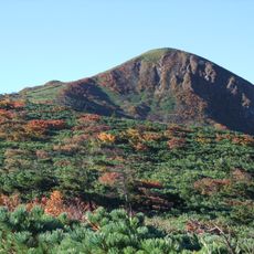
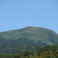
Akita-Komagatake, Active volcano in Towada-Hachimantai National Park, Japan
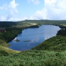
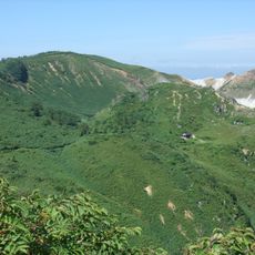
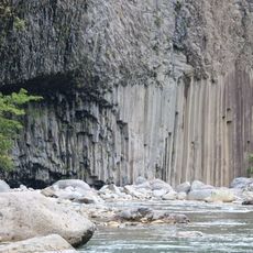
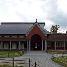
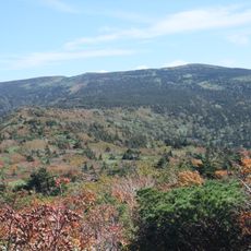
Akita-Komagatake is a volcanic mountain at the border between Akita and Iwate prefectures, composed of multiple peaks made from andesite and basalt rock. The main summit reaches approximately 1,600 meters and sits within Towada-Hachimantai National Park with numerous marked hiking trails.
The volcano last erupted between September 1970 and January 1971, marking the most recent volcanic activity in this section of Honshu. Since then, it has remained dormant and shaped the surrounding landscape.
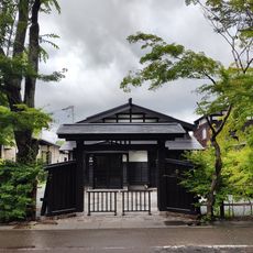
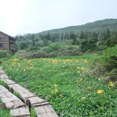
The mountain paths contain information centers where visitors learn about local plants, including the northern Japanese primrose and deep pink komakusa dicentra.
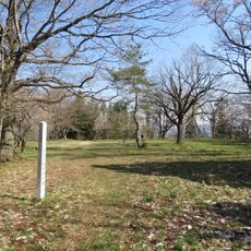
Buses depart regularly from JR Tazawako Station toward Komagatake Eighth Station, with a journey of roughly one and a half hours. From the eighth station, hikers can access trails of varying difficulty levels.
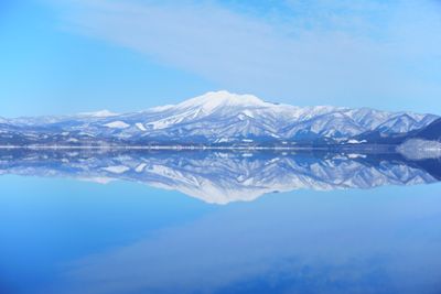
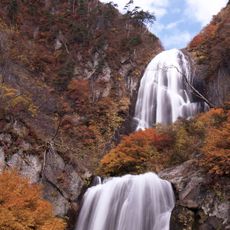
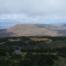
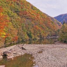
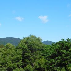
From late September through early October, the slopes display autumn colors while offering views of Mount Chokaisan, Mount Iwate, and Lake Tazawa below. This seasonal blend of nearby fall foliage and distant peaks draws many visitors during this specific time.
The community of curious travelers
AroundUs brings together thousands of curated places, local tips, and hidden gems, enriched daily by 60,000 contributors worldwide.