Akasofu Tameike Dam, dam in Toyama Prefecture, Japan
Location: Nanto
Inception: 1932
Height: 31.9 m
Length: 200.2 m
GPS coordinates: 36.52583,136.93917
Latest update: March 7, 2025 18:10

Gokayama
11.2 km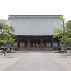
Zuisen-ji
4.7 km
Iōzen
12.9 km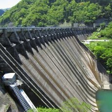
Komaki Dam
7.1 km
Tonami Tulip Park
12.9 km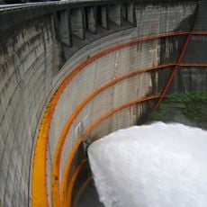
Tōri Dam
13.5 km
Château d'Inamishiro
4.9 km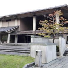
Nanto Fukumitsu Art Museum
9.4 km
Tonami Tulip Gallery
13 km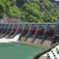
Shogawa Goguchi Dam
7.5 km
利賀大橋
4.6 km
Château de Johana
3.6 km
Iōzen Prefectural Natural Park
11.2 km
勝満寺
12.8 km
Tonami Sankyoson Museum
11.4 km
巖浄閣
7 km
Tonami Provincial Museum
12.7 km
Soyama Dam
7.2 km
Shogawa Memorial Museum of Sotojiro Matsumura
7.2 km
Takase Site
4.4 km
Château de Chiyo mois Samajo
8.1 km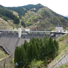
Johana Dam
7.8 km
Château de Musée SoMamoru
4.3 km
藤橋
7.3 km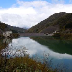
Usunaka Dam
9.9 km
雄神大橋
11 km
小倉の土居跡
12.2 km
Minami-Fukumitsu
3.9 kmReviews
Visited this place? Tap the stars to rate it and share your experience / photos with the community! Try now! You can cancel it anytime.
Discover hidden gems everywhere you go!
From secret cafés to breathtaking viewpoints, skip the crowded tourist spots and find places that match your style. Our app makes it easy with voice search, smart filtering, route optimization, and insider tips from travelers worldwide. Download now for the complete mobile experience.

A unique approach to discovering new places❞
— Le Figaro
All the places worth exploring❞
— France Info
A tailor-made excursion in just a few clicks❞
— 20 Minutes