
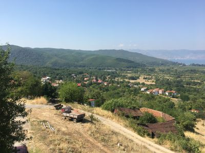
Ljubaništa, village in North Macedonia
Location: Ohrid Municipality
Elevation above the sea: 1,269 m
GPS coordinates: 40.91583,20.76889
Latest update: March 8, 2025 23:27
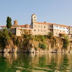
Monastery of Saint Naum
2.4 km
Galičica
4.8 km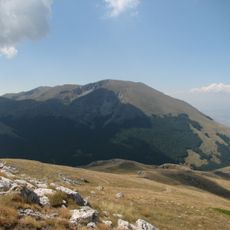
Galičica National Park
11.6 km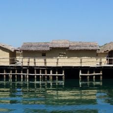
Museum of Water – Bay of Bones
9.1 km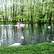
Driloni river
5 km
Pogradec Castle
10.4 km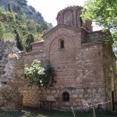
Church of the Theotokos of Zaum
3.7 km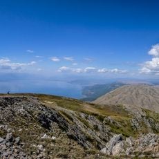
Ohrid-Prespa Transboundary Biosphere Reserve
12 km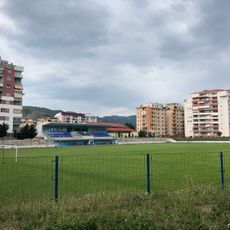
Gjorgji Kyçyku Stadium
9 km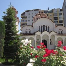
Церковь Воскресения Христова
9.5 km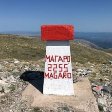
Magaro Peak
3.4 km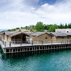
Museum on Water, Ohrid
9.1 km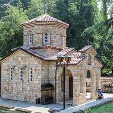
St. Petka Church
2.3 km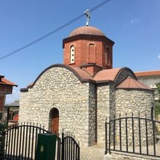
St. Nicholas Church
11.8 km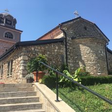
St. Elijah Church
12.9 km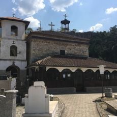
Ss. Cosmas and Damian Church
11.6 km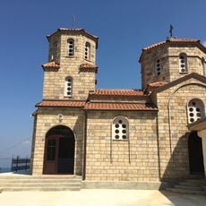
St. Nicholas Church
5.1 km
St. Nicholas Cave Church
406 m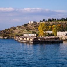
Градиште (Пештани)
9.3 km
Saint Mary Church, Peshkëpi
2.3 km
St. Nicholas Church
378 m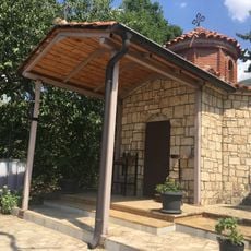
St. Menas Church
13.2 km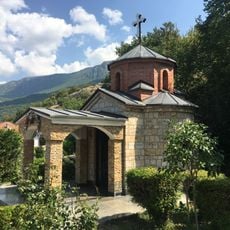
Church of the Holy Trinity
11.2 km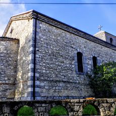
Sts. Cyril and Methodius Church (Stenje)
12.3 km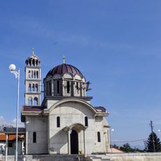
St. Nicholas Church
11.6 km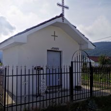
St. Athanasius Church (Stenje)
12.4 km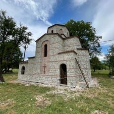
Church of the Ascension of Christ
8.9 km
St. Nicholas Church (Leskoec, Resen)
10.2 kmVisited this place? Tap the stars to rate it and share your experience / photos with the community! Try now! You can cancel it anytime.
Discover hidden gems everywhere you go!
From secret cafés to breathtaking viewpoints, skip the crowded tourist spots and find places that match your style. Our app makes it easy with voice search, smart filtering, route optimization, and insider tips from travelers worldwide. Download now for the complete mobile experience.

A unique approach to discovering new places❞
— Le Figaro
All the places worth exploring❞
— France Info
A tailor-made excursion in just a few clicks❞
— 20 Minutes