Enable Location

We need your location to show you interesting places around you

Discover nearby places

Find interesting locations and hidden gems around you

Precise directions

Get accurate directions and distances to places

Your location is never shared with other users. It's only used when you tap the location button.

Daura

Log in to your account

Start exploring — it's free

Trusted by 63,103 travelers worldwide

Continue with Google
Continue with Apple
or

We will send you a code to connect

By continuing, you accept our Terms and Conditions and our Privacy Policy

Check your inbox

We've sent a pincode in your inbox. Please enter the code below.

Discussion Reviews 2 Photos
28.5k Popularity

Daura, Local government area in Katsina State, Nigeria

Daura is a local government area in Katsina State in northern Nigeria, spread across numerous villages and settlements at an elevation of 474 meters. The region features extensive farmland and traditional settlement patterns that shape everyday rural life.

The territory was conquered in 1805 by Fulani warrior Malam Ishaku during the Fulani Wars, establishing an emirate in the region. It later fell under British colonial rule in 1904, eventually becoming integrated into Nigeria's modern administrative framework.

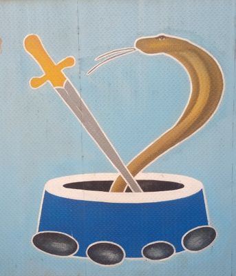
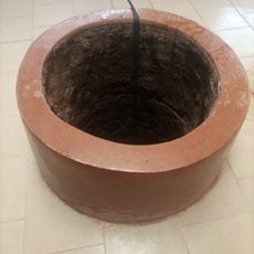
The Kusugu Well remains a focal point where local stories speak of Bayajidda's triumph over a serpent called Sarki, connecting residents to their ancestral narratives. This site serves as a gathering place that keeps these oral traditions alive in daily community life.

The dry season offers the best travel conditions, as roads become passable and agricultural activities are less intensive. Engaging local guides helps visitors navigate to traditional sites and understand proper cultural etiquette during visits.

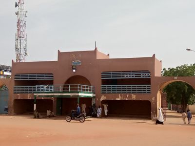
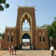
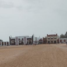
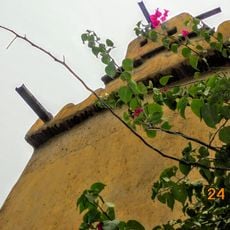
The Kangiwa Royal Palace serves as the seat of traditional administration, where the emir conducts official ceremonies and maintains historical archives. The architecture and daily activities there reveal how traditional governance and modern administration coexist in the region.

The community of curious travelers

AroundUs brings together thousands of curated places, local tips, and hidden gems, enriched daily by 60,000 contributors worldwide.

Start exploring
Location
Elevation above the sea
474 m
GPS coordinates
13.03639,8.31778
Latest update
December 20, 2025 12:28
Reviews
Share your experience

No review yet

Discussions
Start a discussion...

No discussion yet

« Daura - Local government area in Katsina State, Nigeria » is provided by Around Us (aroundus.com). Images and texts are derived from Wikimedia project under a Creative Commons license. You are allowed to copy, distribute, and modify copies of this page, under the conditions set by the license, as long as this note is clearly visible.

Discover hidden gems everywhere you go!

From secret cafés to breathtaking viewpoints, skip the crowded tourist spots and find places that match your style. Our app makes it easy with voice search, smart filtering, route optimization, and insider tips from travelers worldwide. Download now for the complete mobile experience.

Around Us App Screenshot

A unique approach to discovering new places

Le Figaro

All the places worth exploring

France Info

A tailor-made excursion in just a few clicks

20 Minutes

Around Us
Travel Guide & Maps
Download

Send to your phone

QR Code
1

Open the camera app on your mobile.

2

Point at the QR code with your camera. A notification will appear.

3

Tap the notification to open the link.