
Kroppanbrua East
Location: Trondheim municipality
Length: 402.5 m
Longest Span: 40 m
Made from material: concrete
Part of: Kroppanbrua
GPS coordinates: 63.39329,10.38718
Latest update: September 23, 2025 16:56
Gråkallen Line
2.4 km
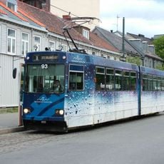
Trondheim Tramway
2.4 km
Hovedbygningen
3 km
Lerchendal gård
2.4 km
Flatåsen
3.1 km
Student Welfare Organisation in Trondheim
2.9 km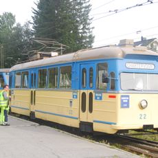
Trondheim Tramway Museum
1.5 km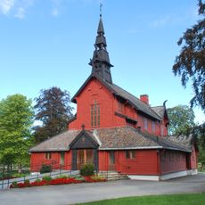
Tilfredshet kapell
2.6 km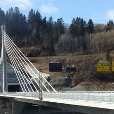
Nydal bridge
486 m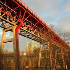
Stavne bru
2.2 km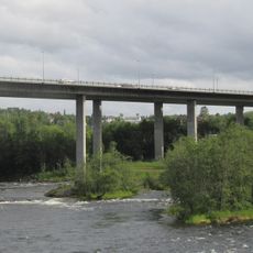
Kroppanbrua
76 m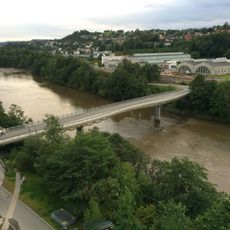
Ceciliebrua
2.9 km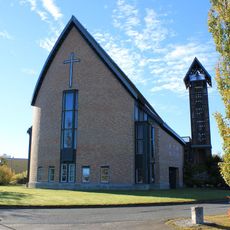
Hoeggen Church
2.2 km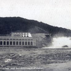
Nedre Leirfossen
1.5 km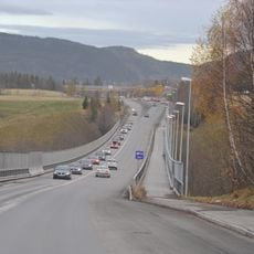
Bjørndalsbrua
2.7 km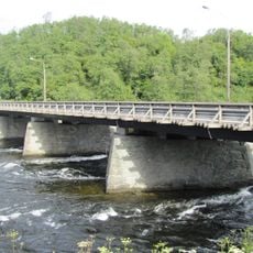
Sluppen Bridge
255 m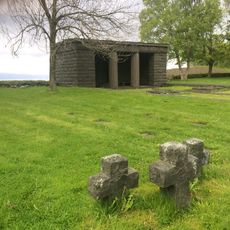
Havstein war cemetery
1.6 km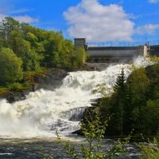
Leirfossen,øvre
2.8 km
Sverresborg church
2.9 km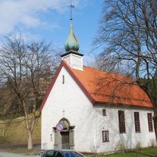
Døves Church
2.7 km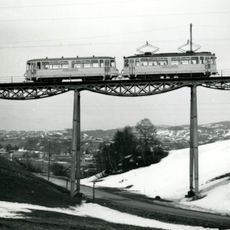
Hoemsbrua
2.5 km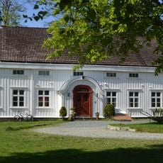
Berg prestegård
2.9 km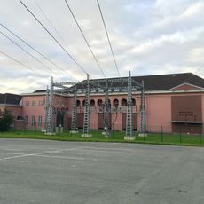
Moholt substation
3.2 km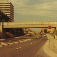
Tekniske etaters administrasjonsbygg
2.3 km
Dalen aktivitetspark
3 km
St. Olavs hospital
2.9 km
FERSTAD
1.9 km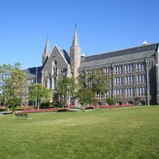
GLØSHAUGEN - Norges tekniske høgskole, nå NTNU
3 kmReviews
Visited this place? Tap the stars to rate it and share your experience / photos with the community! Try now! You can cancel it anytime.
Discover hidden gems everywhere you go!
From secret cafés to breathtaking viewpoints, skip the crowded tourist spots and find places that match your style. Our app makes it easy with voice search, smart filtering, route optimization, and insider tips from travelers worldwide. Download now for the complete mobile experience.

A unique approach to discovering new places❞
— Le Figaro
All the places worth exploring❞
— France Info
A tailor-made excursion in just a few clicks❞
— 20 Minutes