Warsaw Ghetto, Jewish district in Warsaw, Poland
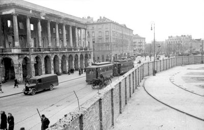
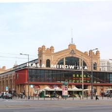
This site marks the enclosed district in the old Jewish quarter, surrounded by a brick wall reaching over three meters in height. The confined area covered roughly 340 hectares and formed one of the largest forced residential zones in occupied Europe.
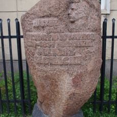
German occupation forces established the enclosed zone in autumn 1940 and forced the Jewish population into the sealed district. Between July and September 1942 troops deported 265,000 people to Treblinka extermination camp.
The archive Oneg Shabbat gathered diaries and accounts from daily life within the enclosed district under Emanuel Ringelblum's leadership. Documents were hidden in milk cans and partly recovered after the war, preserving testimony about life behind the walls.
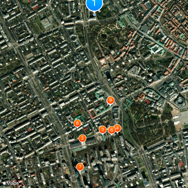
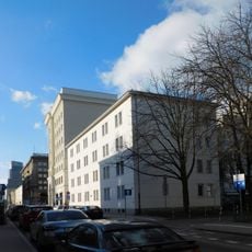
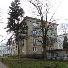
Memorials and wall fragments scattered through the city today mark where the enclosed district once stood. Visitors can walk a historic route through central Warsaw to reach the main memorial sites on foot.
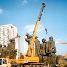
In April 1943 the first armed mass rebellion against German occupiers in Europe began here. The uprising lasted nearly a month even though defenders lacked military training and carried only a few homemade weapons.
Location: Warsaw
GPS coordinates: 52.25000,21.00000
Latest update: December 12, 2025 16:49
Hale Mirowskie
1.2 km
Lubomirski Palace, Warsaw
1.2 km
Żelazna Brama
1.2 km
Museum of John Paul II Collection
888 m
Tadeusz Kościuszko Monument
1.2 km
PZU Tower in Warsaw
1.5 km
Elektoralna Street
1.1 km
Exchange and Bank of Poland Building
883 m
Feliks Stamm monument in Warsaw
1.3 km
Poległym w Służbie i Obronie Polski Ludowej Monument
1.2 km
Gościnny Dwór
1.2 km
Mirowski Park in Warsaw
1.3 km
Palace of the Minister of Treasury
837 m
Hotel Saski in Warsaw
923 m
Kamienica Józefa Frageta
1.1 km
12 Elektoralna Street in Warsaw
1 km
Osi Saskiej
1.2 km
Brenkin Tenement House in Warsaw
1.5 km
36A Jana Pawła II Avenue in Warsaw
1.1 km
23 Elektoralna Street in Warsaw
1.2 km
Kamienica (budynek południowy) (d. Józefa Brenkina)
1.5 km
East Hall (Hale Mirowskie)
1.2 km
West Hall
1.3 km
Blok przy ulicy Elektoralnej 16/22
1.1 km
Tablica upamiętniająca dom Juliusza Słowackiego
1.2 km
Blok przy alei „Solidarności” 105/111B
942 m
Budynek szkolny przy ulicy Elektoralnej 12/14
1 km
32 Jana Pawła II Avenue in Warsaw
1.2 kmVisited this place? Tap the stars to rate it and share your experience / photos with the community! Try now! You can cancel it anytime.
Discover hidden gems everywhere you go!
From secret cafés to breathtaking viewpoints, skip the crowded tourist spots and find places that match your style. Our app makes it easy with voice search, smart filtering, route optimization, and insider tips from travelers worldwide. Download now for the complete mobile experience.
A unique approach to discovering new places❞
— Le Figaro
All the places worth exploring❞
— France Info
A tailor-made excursion in just a few clicks❞
— 20 Minutes