Połaniec, Municipality in Świętokrzyskie Voivodeship, Poland
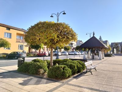
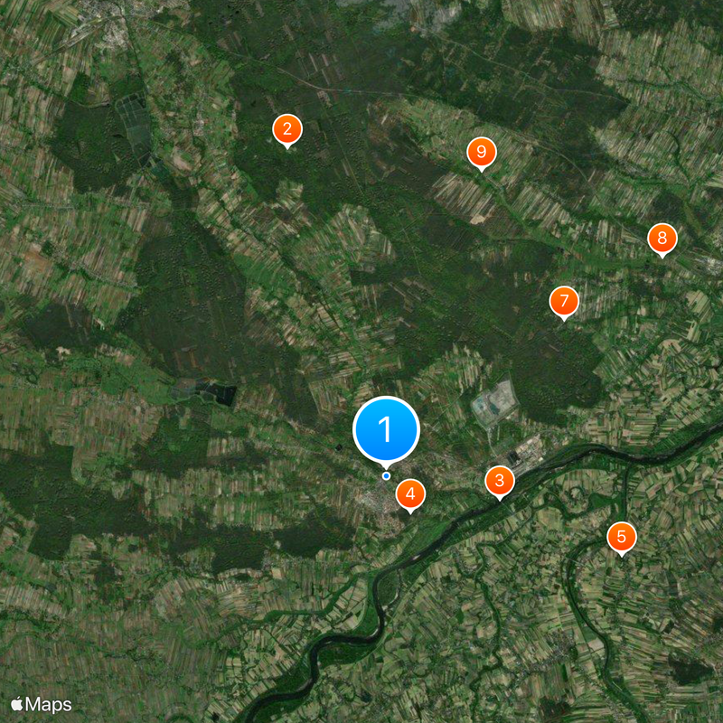
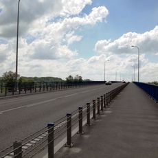
Połaniec is a city in Świętokrzyskie Voivodeship in southern Poland situated near the Vistula River across a landscape of rolling terrain. The settlement spreads out with residential areas, parks, and agricultural land creating a mixed environment for living and working.
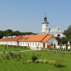
The settlement began as a fortified outpost in the eleventh century and gained urban rights before 1264. This early foundation linked it to major trade routes and shaped its role in the region for centuries.
The city maintains active partnerships with communities across France, Lithuania, Slovakia, Ukraine, Italy, and Greece. These international connections shape how residents interact and add richness to everyday life.
A major power plant operating since the 1970s serves as the area's principal employer and energy source. This facility significantly shapes the local economy and influences how the community develops and functions.
The Tadeusz Kościuszko Power Plant, named after a national hero, stands as a landmark industrial facility from the Soviet era that shaped Poland's energy infrastructure. Visitors can witness the massive scale of this installation and its continued importance to regional power supply.
Location: Gmina Połaniec
Inception: 1191
Elevation above the sea: 166.3 m
Part of: Związek Miast Nadwiślańskich
Website: http://portal.polaniec.eu
GPS coordinates: 50.43333,21.28333
Latest update: December 20, 2025 13:40
Camaldolese monastery complex in Rytwiany
10.1 km
Most w Połańcu
3.4 km
Kościuszko Mound in Połaniec
1.3 km
Church of St. Adalbert in Gawłuszowice
7.3 km
Saint Martin church in Połaniec
351 m
Pacyfikacja wsi Strużki
7 km
Church of the Visitation in Niekrasów
10.4 km
Our Lady of Sorrows church in Strzegom
9.5 km
Wooden synagogue from Połaniec
176 m
Our Lady Help of Christians church in Połaniec
1.2 km
Parish cemetery in Połaniec
488 m
Parish cemetery in Niekrasów
10.3 km
Parish cemetery in Strzegom, Świętokrzystkie Voivodeship
9 km
Zespół dworski
7.7 km
Church of the Annunciation in Rytwiany
10.1 km
Młyn w Grobli
11.6 km
Mill in Grobla
11.6 km
North wing of the Camaldolese monastery in Rytwiany
10.2 km
West wing of the Camaldolese monastery in Rytwiany
10.1 km
South wing of the Camaldolese monastery in Rytwiany
10.1 km
East gate to Camaldolese monastery in Rytwiany
10.1 km
Manor house in Ruszcza
4.5 km
Zespół dworski
4.4 km
Wooden bell tower in Niekrasów
10.2 km
Fundamenty pałacu w Łubnicach
10 km
Dwór
7.7 km
West gate to Camaldolese monastery in Rytwiany
10.2 km
Dom młynarza
11.6 kmVisited this place? Tap the stars to rate it and share your experience / photos with the community! Try now! You can cancel it anytime.
Discover hidden gems everywhere you go!
From secret cafés to breathtaking viewpoints, skip the crowded tourist spots and find places that match your style. Our app makes it easy with voice search, smart filtering, route optimization, and insider tips from travelers worldwide. Download now for the complete mobile experience.
A unique approach to discovering new places❞
— Le Figaro
All the places worth exploring❞
— France Info
A tailor-made excursion in just a few clicks❞
— 20 Minutes