
Park, park in Żydów, Greater Poland Voivodeship, Poland
Location: Żydów, Greater Poland Voivodeship
Inception: 1912
Part of: Zespół dworski
GPS coordinates: 51.69835,18.10278
Latest update: April 26, 2025 00:00

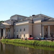
Teatr im. Wojciecha Bogusławskiego
6.8 km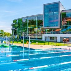
Kaliski Park Wodny
6.4 km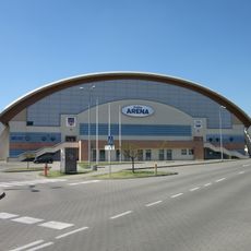
Kalisz Arena
6.7 km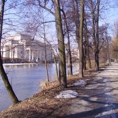
Park Miejski w Kaliszu
6.9 km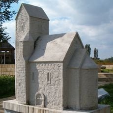
Archaeological reserve Zawodzie in Kalisz
5.4 km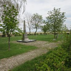
Ukraiński Cmentarz Wojskowy w Kaliszu
6.8 km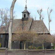
Adalbert of Prague church in Kalisz
5.3 km
36 Śródmiejska Street in Kalisz
6.7 km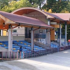
Stadion Miejski w Kaliszu
6.7 km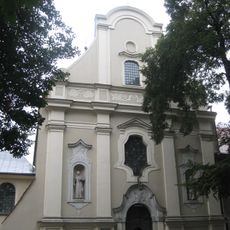
Saints Joseph and Peter of Alcantara church in Kalisz
6.8 km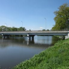
Most św. Wojciecha w Kaliszu
6.3 km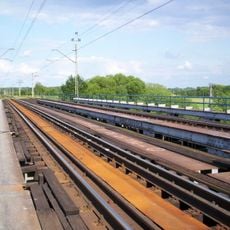
Most kolejowy w Kaliszu
4 km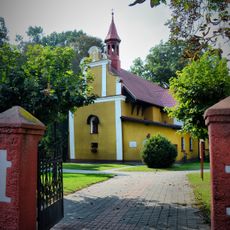
Saint Nicholas church in Gostyczyna
3.2 km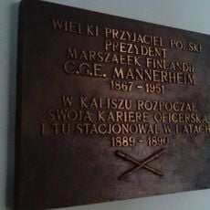
Mannerheimin muistolaatta
6.6 km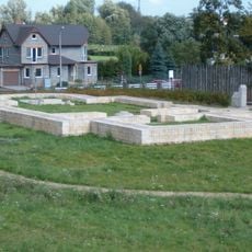
Kolegiata św. Pawła Apostoła w Kaliszu
5.4 km
Saint Godehard church in Kalisz
5.7 km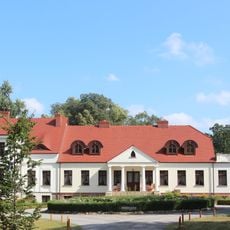
Manor in Chotów
2.5 km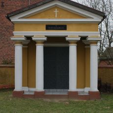
Cmentarz w Gostyczynie
3.2 km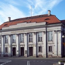
2 Bogusławskiego Square in Kalisz
6.8 km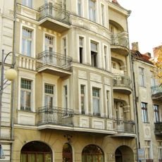
21 Wolności Avenue in Kalisz
6.9 km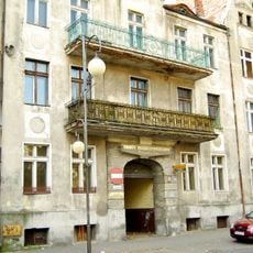
19 Wolności Avenue in Kalisz
6.9 km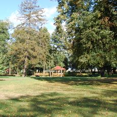
Park
2.5 km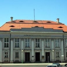
Kamienica z oficyną, ob. bank
6.8 km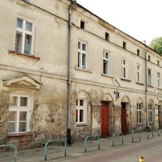
9a Wolności Avenue in Kalisz
6.9 km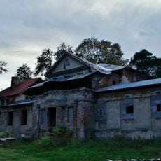
Dwór, Szkolna 2 w Żydowie
43 m
3 Nowy Świat Street in Kalisz
6.6 km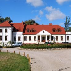
Dwór w Chotowie
2.6 km
Jan Nepomucen chapel in Kalisz
6.9 kmReviews
Visited this place? Tap the stars to rate it and share your experience / photos with the community! Try now! You can cancel it anytime.
Discover hidden gems everywhere you go!
From secret cafés to breathtaking viewpoints, skip the crowded tourist spots and find places that match your style. Our app makes it easy with voice search, smart filtering, route optimization, and insider tips from travelers worldwide. Download now for the complete mobile experience.

A unique approach to discovering new places❞
— Le Figaro
All the places worth exploring❞
— France Info
A tailor-made excursion in just a few clicks❞
— 20 Minutes