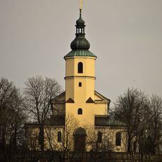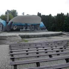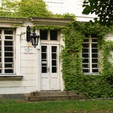
Zagorski Forest, Forest and park in Zagórze, Sosnowiec, Poland
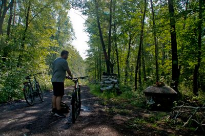
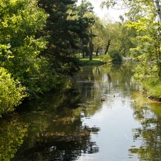
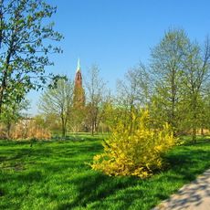
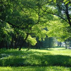
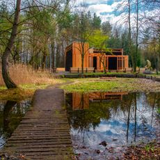
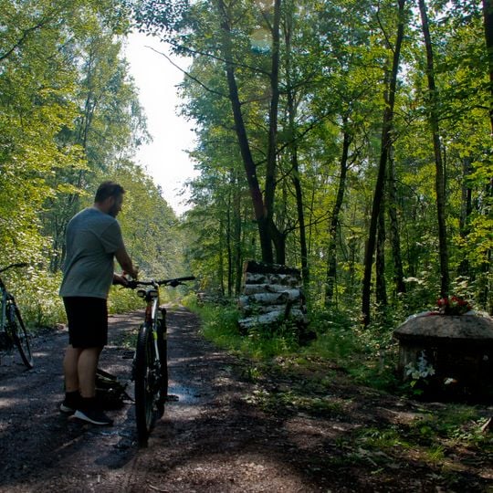
Zagorski Forest is a large wooded area with diverse plant life located within Sosnowiec, specifically in the Zagórze neighborhood. Well-marked walking and cycling paths run through the forest, allowing visitors to explore different parts of the terrain.
Zagorski Forest is a remnant of the old Pakosznica forest, now covering 425 hectares managed by the Siewierz Forest District of the State Forests. During the Second World War the German B2 fortification line was built through it in 1944; its bunkers still stand among the trees. Later, when local mine shafts were closed, water-filled subsidence pits formed in the woods.
The forest is the remnant of the old Pakosznica forest, and its name comes from the Zagórze district where it lies. A marked cycling route, the Szlak Rowerowy Lasu Zagórskiego, links Park Kępa with Park im. Jacka Kuronia through the trees. On the eastern side the woods pass directly into Park im. Jacka Kuronia, with ulica Kazimierzowska and the Smug pond marking the boundary.
The forest lies in Zagórze and Kazimierz, bordering Czarne Morze; from the east it merges into Jacek Kuroń Park along Kazimierzowska Street and Smug Pond. A marked cycling route, the Zagórski Forest Cycling Trail, links Kępa Park and Kuroń Park. The southern edge meets the Podmokłe Łąki i Zapadliska ecological area, and wet ground drains into the Rów Mortimerowski stream.
The forest is a remnant of the old Pakosznica forest and covers 425 hectares, managed by the Siewierz Forest District. Water-filled subsidence pits mark former mine shafts, and German B2 fortifications from 1944 stand among the trees.
The community of curious travelers
AroundUs brings together thousands of curated places, local tips, and hidden gems, enriched daily by 93,225 contributors worldwide.