Jericho, Ancient settlement in West Bank, Palestine
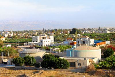
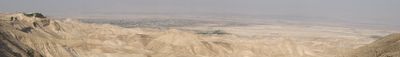
Jericho is a settlement in the Jordan Valley that sits 275 meters below sea level, near springs that feed the surrounding land and make the area fertile. The town spreads across a flat plain between the northern Dead Sea and the Judean hills, with palm groves and gardens shaping the landscape.
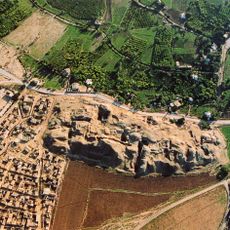
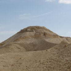
Excavations at Tell es-Sultan show that people lived here continuously from around 9000 BCE, making the site one of the earliest urban centers. Different groups settled the area over the centuries, leaving behind walls, towers and residential quarters that can be seen today in the archaeological park.
The town serves today as an administrative center with mosques, markets and residential streets where families live and work in a landscape shaped by date palms and citrus orchards. Local vendors sell fresh produce and sweets in the souks, while farmers tend crops irrigated by springs that have supported the community for centuries.
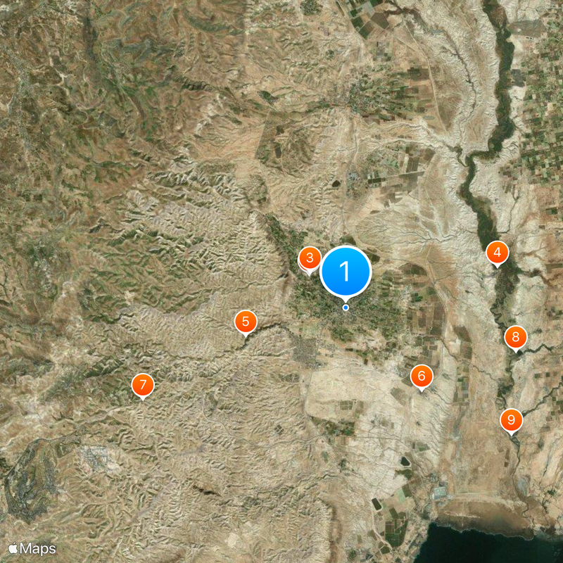
The archaeological park is located in the center of town and can be reached via Sultan Street, where a museum displays finds from different periods. Visitors should come early in the morning or late afternoon to avoid the heat in the valley, and wear sturdy shoes as the paths can be uneven.
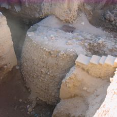
At Tell es-Sultan stands a stone tower built around 8000 BCE, considered the earliest known fortification structure made by humans. The tower has an internal staircase and shows how early inhabitants defended their settlement long before metal tools were used.
The community of curious travelers
AroundUs brings together thousands of curated places, local tips, and hidden gems, enriched daily by 60,000 contributors worldwide.