Occupied Palestinian territories, Disputed territory in Middle East
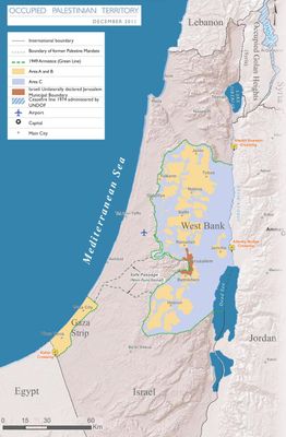
The Palestinian territories comprise two separate regions: the West Bank, a landlocked area bordered by Jordan and Israel, and the Gaza Strip along the Mediterranean coast. The West Bank covers 2,260 square miles (5,860 square kilometers) with hilly terrain, while Gaza spans 140 square miles (365 square kilometers) of flat coastal plain.
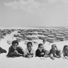
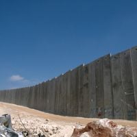
Following the 1948 Arab-Israeli War, several hundred thousand Palestinians left their homes in an event Palestinians call the Nakba. The 1967 Six-Day War led to Israeli occupation of both territories. The Oslo Accords of 1993 and 1995 created the Palestinian Authority and divided the West Bank into different administrative zones.
The Palestinian territories preserve identity through inherited craft traditions, regional cuisine, characteristic embroidery patterns, local dance forms, and agricultural methods that differ between coastal and inland regions and pass through generations.
The territories divide into three administrative zones: Area A under Palestinian control, Area B under joint control, and Area C under Israeli administration. Travelers need valid travel documents and should check current entry requirements and movement restrictions between zones before visiting.
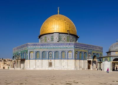
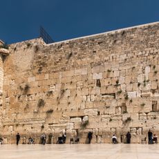
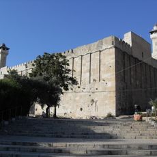
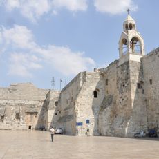
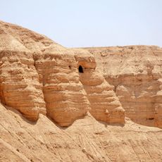
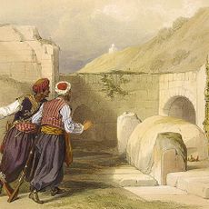
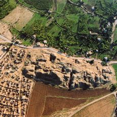
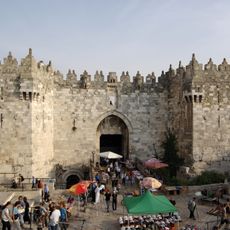
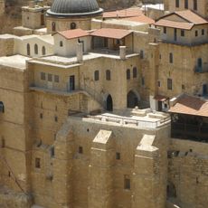
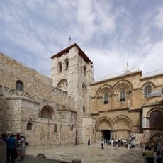
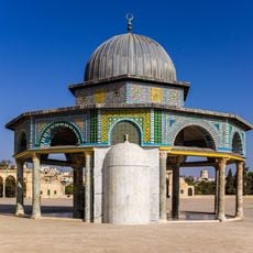
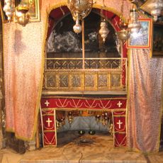
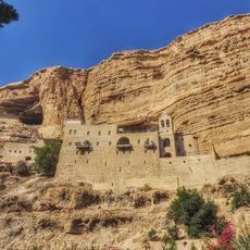
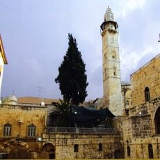
The region contains numerous archaeological sites spanning 4000 years, including ancient olive groves, stone terrace systems, and water channels still used in agriculture today. Some of these olive trees rank among the oldest cultivated trees in the world and continue bearing fruit.
The community of curious travelers
AroundUs brings together thousands of curated places, local tips, and hidden gems, enriched daily by 60,000 contributors worldwide.