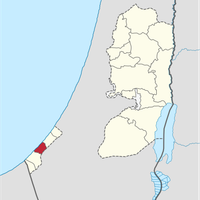
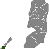
Gaza Strip, Exclave in southwestern Palestine
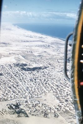
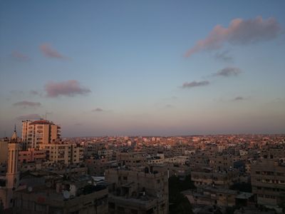
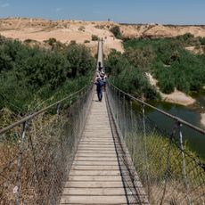
The territory is a coastal strip in southwestern Palestine that runs for roughly 40 kilometers along the Mediterranean and measures between 6 and 12 kilometers in width. Sandy shores alternate with fields, small towns and densely built neighborhoods, while low hills and agricultural plains shape the interior landscape.
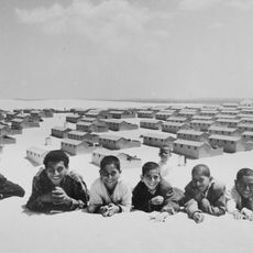
Following the conflict in 1948, the area fell under Egyptian administration and remained there until 1967. At that point, Israel took control during the Six-Day War.
Street markets offer hand-embroidered textiles, pottery and dishes made from locally grown vegetables and grains. Families often gather in gardens or near the shore to share meals and pass down traditional crafts to younger generations.
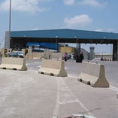
The coastal location allows for fishing, but access to the shore is subject to restrictions due to security measures. Travelers should check current regulations beforehand, as conditions on the ground change frequently.
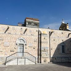
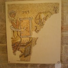
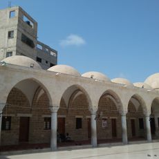
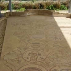
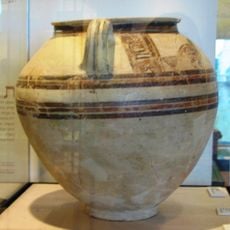
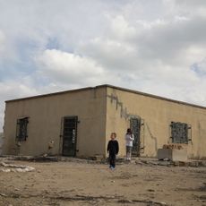
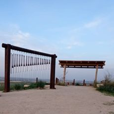
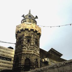
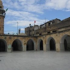
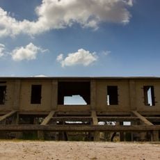
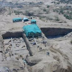
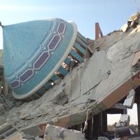
Archaeological remains reach back more than 4000 years and include ancient harbor structures, Byzantine churches and Islamic buildings. Some of these sites lie scattered among present-day neighborhoods and can be discovered while walking through narrow lanes.
Location: State of Palestine
Inception: 1949
Capital city: Gaza City
Part of: State of Palestine, Middle East, West Asia, Israeli-occupied territories
Shares border with: Egypt, Israel
GPS coordinates: 31.44322,34.36001
Latest update: December 12, 2025 19:00
Church of Saint Porphyrius
11.8 km
Khan Yunis Camp
12.3 km
The Black Arrow monument
19.7 km
Gaza synagogue
11 km
Suspension bridge in Besor Stream
29.2 km
Eshkol National Park
19.4 km
Sayed al-Hashim Mosque
12.2 km
Maon Synagogue
12.5 km
Tall al-Ajjul
5 km
Bait HaLavan
13.6 km
ANZAC Memorial
9.7 km
Tell Jemmeh
10.2 km
Gaza War Cemetery
13.9 km
Assaf Siboni lookout
20.9 km
Mordechaj Anielewicz statue in Yad Mordechai
24.6 km
Beit Hanoun crossing
21.7 km
Ibn Marwan Mosque
12.4 kmMahkamah Mosque
12.3 km
Ibn Uthman Mosque
12.2 km
Sulfur Quarry of Be'eri
9.7 km
Yad Mordechai Museum
24.9 km
Tell es-Sakan
12 kmWelayat Mosque
11.8 kmAybaki Mosque
12.6 kmIDF field hospital for Gazans
21.7 km
Rashad Shawa Cultural Center
11.8 km
Armistice houses
19.7 km
Yad Mordechai water tower
24.6 kmVisited this place? Tap the stars to rate it and share your experience / photos with the community! Try now! You can cancel it anytime.
Discover hidden gems everywhere you go!
From secret cafés to breathtaking viewpoints, skip the crowded tourist spots and find places that match your style. Our app makes it easy with voice search, smart filtering, route optimization, and insider tips from travelers worldwide. Download now for the complete mobile experience.
A unique approach to discovering new places❞
— Le Figaro
All the places worth exploring❞
— France Info
A tailor-made excursion in just a few clicks❞
— 20 Minutes